| کد مقاله | کد نشریه | سال انتشار | مقاله انگلیسی | نسخه تمام متن |
|---|---|---|---|---|
| 6538641 | 158703 | 2015 | 8 صفحه PDF | دانلود رایگان |
عنوان انگلیسی مقاله ISI
Pesticides exposure modeling based on GIS and remote sensing land use data
دانلود مقاله + سفارش ترجمه
دانلود مقاله ISI انگلیسی
رایگان برای ایرانیان
کلمات کلیدی
موضوعات مرتبط
علوم زیستی و بیوفناوری
علوم کشاورزی و بیولوژیک
جنگلداری
پیش نمایش صفحه اول مقاله

چکیده انگلیسی
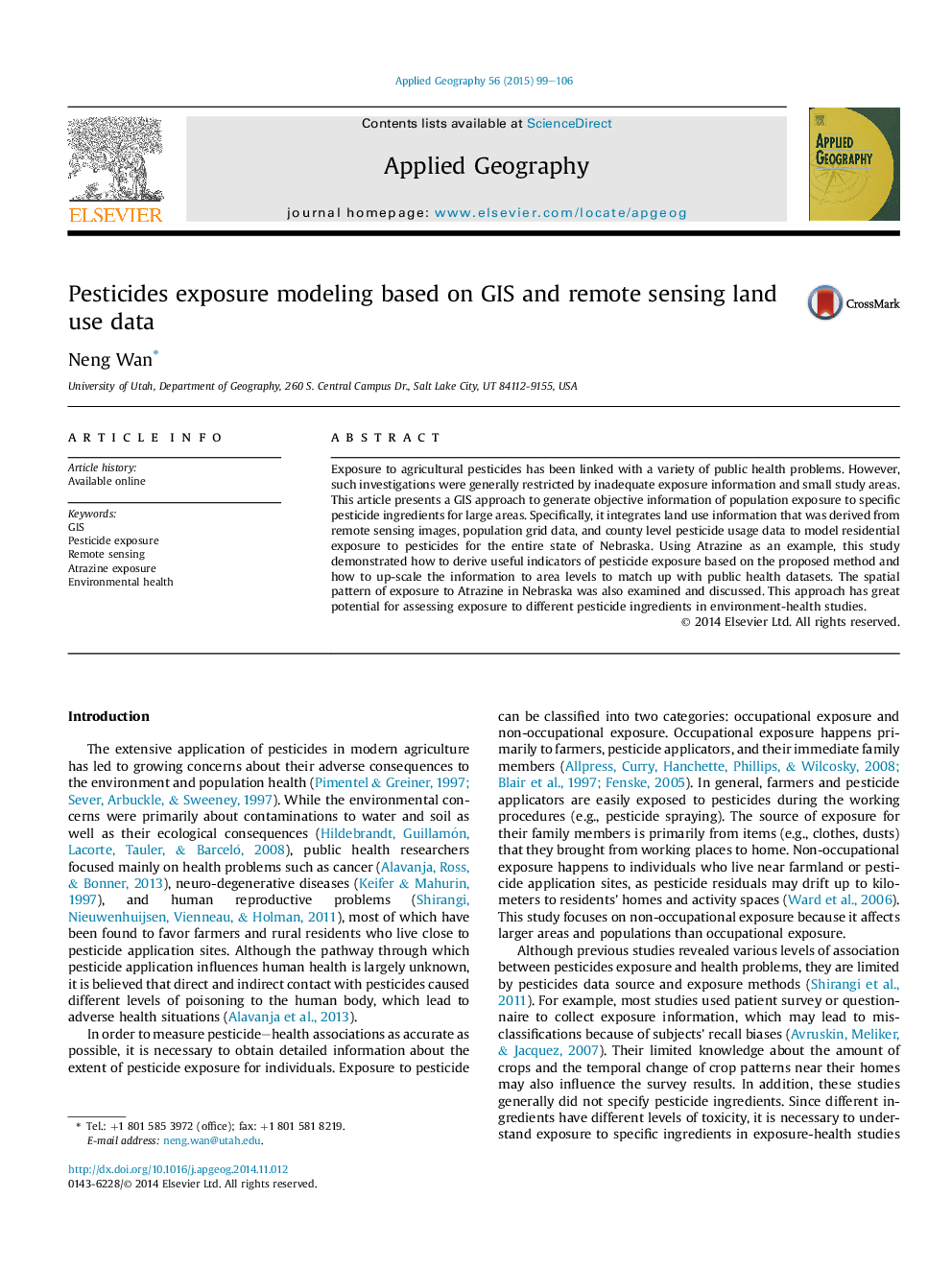
Exposure to agricultural pesticides has been linked with a variety of public health problems. However, such investigations were generally restricted by inadequate exposure information and small study areas. This article presents a GIS approach to generate objective information of population exposure to specific pesticide ingredients for large areas. Specifically, it integrates land use information that was derived from remote sensing images, population grid data, and county level pesticide usage data to model residential exposure to pesticides for the entire state of Nebraska. Using Atrazine as an example, this study demonstrated how to derive useful indicators of pesticide exposure based on the proposed method and how to up-scale the information to area levels to match up with public health datasets. The spatial pattern of exposure to Atrazine in Nebraska was also examined and discussed. This approach has great potential for assessing exposure to different pesticide ingredients in environment-health studies.
ناشر
Database: Elsevier - ScienceDirect (ساینس دایرکت)
Journal: Applied Geography - Volume 56, January 2015, Pages 99-106
Journal: Applied Geography - Volume 56, January 2015, Pages 99-106
نویسندگان
Neng Wan,