| کد مقاله | کد نشریه | سال انتشار | مقاله انگلیسی | نسخه تمام متن |
|---|---|---|---|---|
| 6538674 | 158707 | 2014 | 9 صفحه PDF | دانلود رایگان |
عنوان انگلیسی مقاله ISI
A more cost-effective geomatic approach to modelling PM10 dispersion across Europe
دانلود مقاله + سفارش ترجمه
دانلود مقاله ISI انگلیسی
رایگان برای ایرانیان
کلمات کلیدی
موضوعات مرتبط
علوم زیستی و بیوفناوری
علوم کشاورزی و بیولوژیک
جنگلداری
پیش نمایش صفحه اول مقاله

چکیده انگلیسی
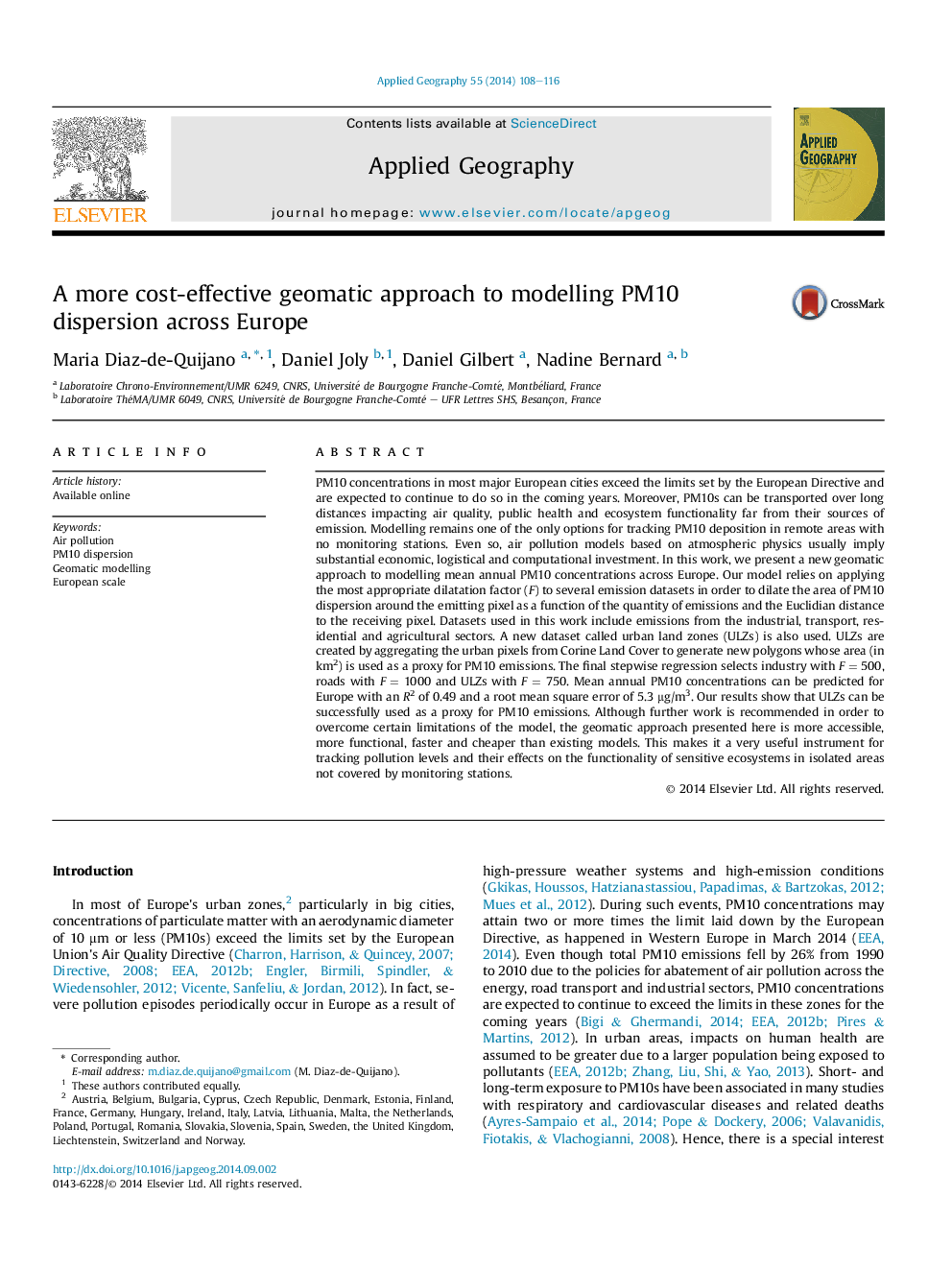
PM10 concentrations in most major European cities exceed the limits set by the European Directive and are expected to continue to do so in the coming years. Moreover, PM10s can be transported over long distances impacting air quality, public health and ecosystem functionality far from their sources of emission. Modelling remains one of the only options for tracking PM10 deposition in remote areas with no monitoring stations. Even so, air pollution models based on atmospheric physics usually imply substantial economic, logistical and computational investment. In this work, we present a new geomatic approach to modelling mean annual PM10 concentrations across Europe. Our model relies on applying the most appropriate dilatation factor (F) to several emission datasets in order to dilate the area of PM10 dispersion around the emitting pixel as a function of the quantity of emissions and the Euclidian distance to the receiving pixel. Datasets used in this work include emissions from the industrial, transport, residential and agricultural sectors. A new dataset called urban land zones (ULZs) is also used. ULZs are created by aggregating the urban pixels from Corine Land Cover to generate new polygons whose area (in km²) is used as a proxy for PM10 emissions. The final stepwise regression selects industry with F = 500, roads with F = 1000 and ULZs with F = 750. Mean annual PM10 concentrations can be predicted for Europe with an R² of 0.49 and a root mean square error of 5.3 μg/m3. Our results show that ULZs can be successfully used as a proxy for PM10 emissions. Although further work is recommended in order to overcome certain limitations of the model, the geomatic approach presented here is more accessible, more functional, faster and cheaper than existing models. This makes it a very useful instrument for tracking pollution levels and their effects on the functionality of sensitive ecosystems in isolated areas not covered by monitoring stations.
ناشر
Database: Elsevier - ScienceDirect (ساینس دایرکت)
Journal: Applied Geography - Volume 55, December 2014, Pages 108-116
Journal: Applied Geography - Volume 55, December 2014, Pages 108-116
نویسندگان
Maria Diaz-de-Quijano, Daniel Joly, Daniel Gilbert, Nadine Bernard,