| کد مقاله | کد نشریه | سال انتشار | مقاله انگلیسی | نسخه تمام متن |
|---|---|---|---|---|
| 6949373 | 1451266 | 2015 | 11 صفحه PDF | دانلود رایگان |
عنوان انگلیسی مقاله ISI
Fusion of waveform LiDAR data and hyperspectral imagery for land cover classification
دانلود مقاله + سفارش ترجمه
دانلود مقاله ISI انگلیسی
رایگان برای ایرانیان
کلمات کلیدی
موضوعات مرتبط
مهندسی و علوم پایه
مهندسی کامپیوتر
سیستم های اطلاعاتی
پیش نمایش صفحه اول مقاله

چکیده انگلیسی
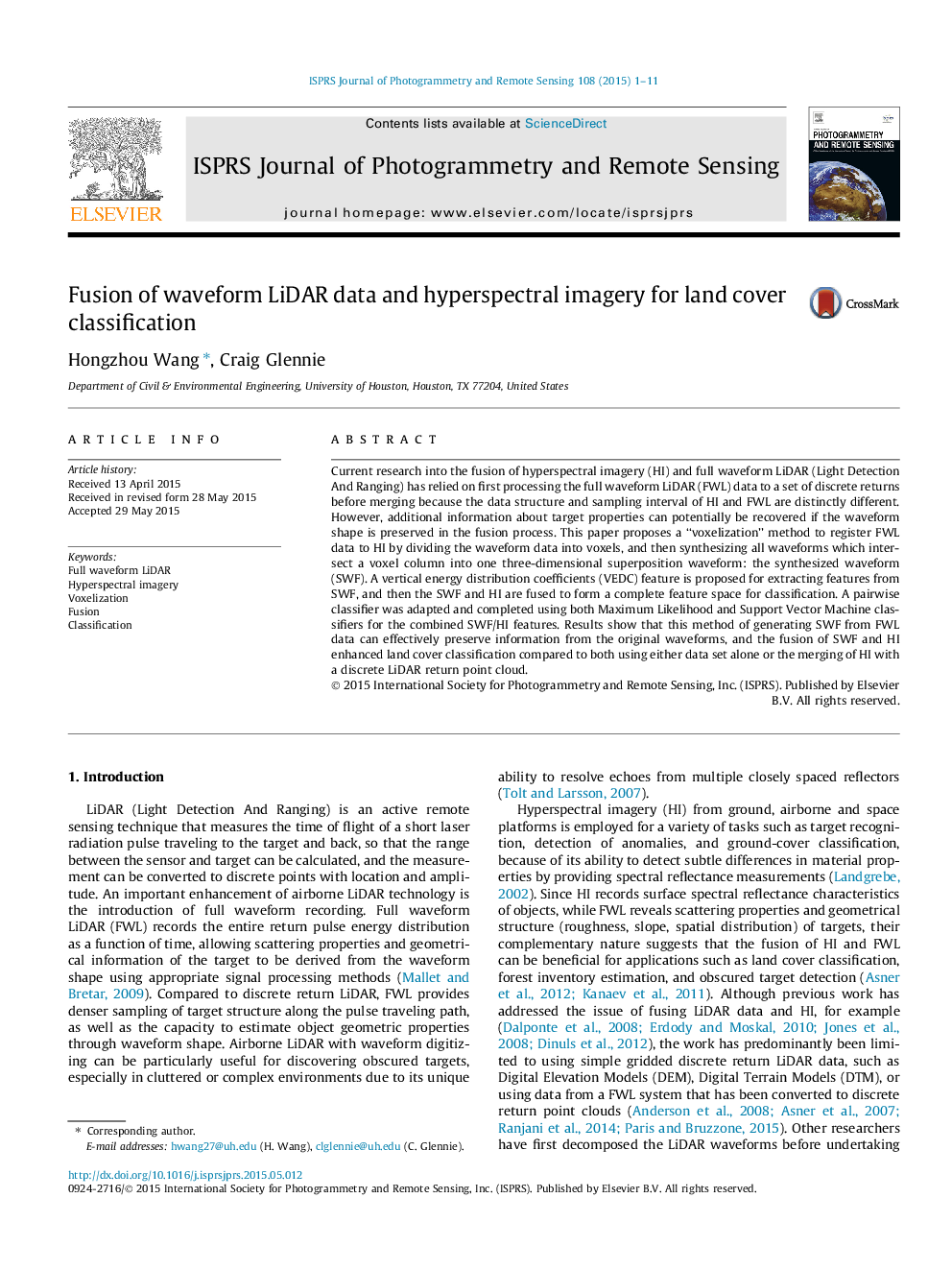
Current research into the fusion of hyperspectral imagery (HI) and full waveform LiDAR (Light Detection And Ranging) has relied on first processing the full waveform LiDAR (FWL) data to a set of discrete returns before merging because the data structure and sampling interval of HI and FWL are distinctly different. However, additional information about target properties can potentially be recovered if the waveform shape is preserved in the fusion process. This paper proposes a “voxelization” method to register FWL data to HI by dividing the waveform data into voxels, and then synthesizing all waveforms which intersect a voxel column into one three-dimensional superposition waveform: the synthesized waveform (SWF). A vertical energy distribution coefficients (VEDC) feature is proposed for extracting features from SWF, and then the SWF and HI are fused to form a complete feature space for classification. A pairwise classifier was adapted and completed using both Maximum Likelihood and Support Vector Machine classifiers for the combined SWF/HI features. Results show that this method of generating SWF from FWL data can effectively preserve information from the original waveforms, and the fusion of SWF and HI enhanced land cover classification compared to both using either data set alone or the merging of HI with a discrete LiDAR return point cloud.
ناشر
Database: Elsevier - ScienceDirect (ساینس دایرکت)
Journal: ISPRS Journal of Photogrammetry and Remote Sensing - Volume 108, October 2015, Pages 1-11
Journal: ISPRS Journal of Photogrammetry and Remote Sensing - Volume 108, October 2015, Pages 1-11
نویسندگان
Hongzhou Wang, Craig Glennie,