| کد مقاله | کد نشریه | سال انتشار | مقاله انگلیسی | نسخه تمام متن |
|---|---|---|---|---|
| 6949781 | 1451292 | 2013 | 9 صفحه PDF | دانلود رایگان |
عنوان انگلیسی مقاله ISI
A multiresolution hierarchical classification algorithm for filtering airborne LiDAR data
دانلود مقاله + سفارش ترجمه
دانلود مقاله ISI انگلیسی
رایگان برای ایرانیان
موضوعات مرتبط
مهندسی و علوم پایه
مهندسی کامپیوتر
سیستم های اطلاعاتی
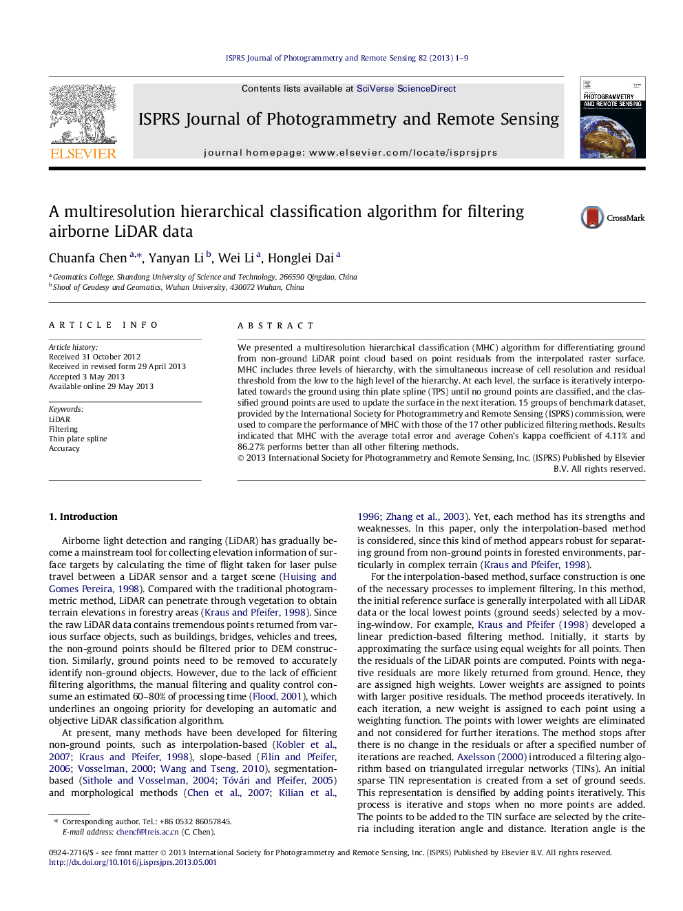
پیش نمایش صفحه اول مقاله

چکیده انگلیسی
We presented a multiresolution hierarchical classification (MHC) algorithm for differentiating ground from non-ground LiDAR point cloud based on point residuals from the interpolated raster surface. MHC includes three levels of hierarchy, with the simultaneous increase of cell resolution and residual threshold from the low to the high level of the hierarchy. At each level, the surface is iteratively interpolated towards the ground using thin plate spline (TPS) until no ground points are classified, and the classified ground points are used to update the surface in the next iteration. 15 groups of benchmark dataset, provided by the International Society for Photogrammetry and Remote Sensing (ISPRS) commission, were used to compare the performance of MHC with those of the 17 other publicized filtering methods. Results indicated that MHC with the average total error and average Cohen's kappa coefficient of 4.11% and 86.27% performs better than all other filtering methods.
ناشر
Database: Elsevier - ScienceDirect (ساینس دایرکت)
Journal: ISPRS Journal of Photogrammetry and Remote Sensing - Volume 82, August 2013, Pages 1-9
Journal: ISPRS Journal of Photogrammetry and Remote Sensing - Volume 82, August 2013, Pages 1-9
نویسندگان
Chuanfa Chen, Yanyan Li, Wei Li, Honglei Dai,