| کد مقاله | کد نشریه | سال انتشار | مقاله انگلیسی | نسخه تمام متن |
|---|---|---|---|---|
| 7110294 | 1460671 | 2018 | 16 صفحه PDF | دانلود رایگان |
عنوان انگلیسی مقاله ISI
2D visual area coverage and path planning coupled with camera footprints
دانلود مقاله + سفارش ترجمه
دانلود مقاله ISI انگلیسی
رایگان برای ایرانیان
کلمات کلیدی
موضوعات مرتبط
مهندسی و علوم پایه
سایر رشته های مهندسی
مهندسی هوافضا
پیش نمایش صفحه اول مقاله

چکیده انگلیسی
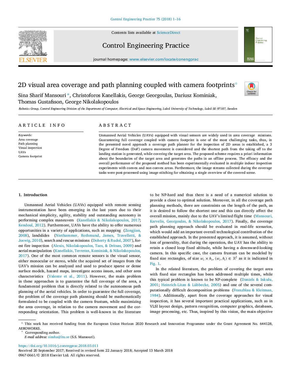
Unmanned Aerial Vehicles (UAVs) equipped with visual sensors are widely used in area coverage missions. Guaranteeing full coverage coupled with camera footprint is one of the most challenging tasks, thus, in the presented novel approach a coverage path planner for the inspection of 2D areas is established, a 3 Degree of Freedom (DoF) camera movement is considered and the shortest path from the taking off to the landing station is generated, while covering the target area. The proposed scheme requires a priori information about the boundaries of the target area and generates the paths in an offline process. The efficacy and the overall performance of the proposed method has been experimentally evaluated in multiple indoor inspection experiments with convex and non convex areas. Furthermore, the image streams collected during the coverage tasks were post-processed using image stitching for obtaining a single overview of the covered scene.
ناشر
Database: Elsevier - ScienceDirect (ساینس دایرکت)
Journal: Control Engineering Practice - Volume 75, June 2018, Pages 1-16
Journal: Control Engineering Practice - Volume 75, June 2018, Pages 1-16
نویسندگان
Sina Sharif Mansouri, Christoforos Kanellakis, George Georgoulas, Dariusz Kominiak, Thomas Gustafsson, George Nikolakopoulos,