| کد مقاله | کد نشریه | سال انتشار | مقاله انگلیسی | نسخه تمام متن |
|---|---|---|---|---|
| 7474071 | 1485176 | 2017 | 13 صفحه PDF | دانلود رایگان |
عنوان انگلیسی مقاله ISI
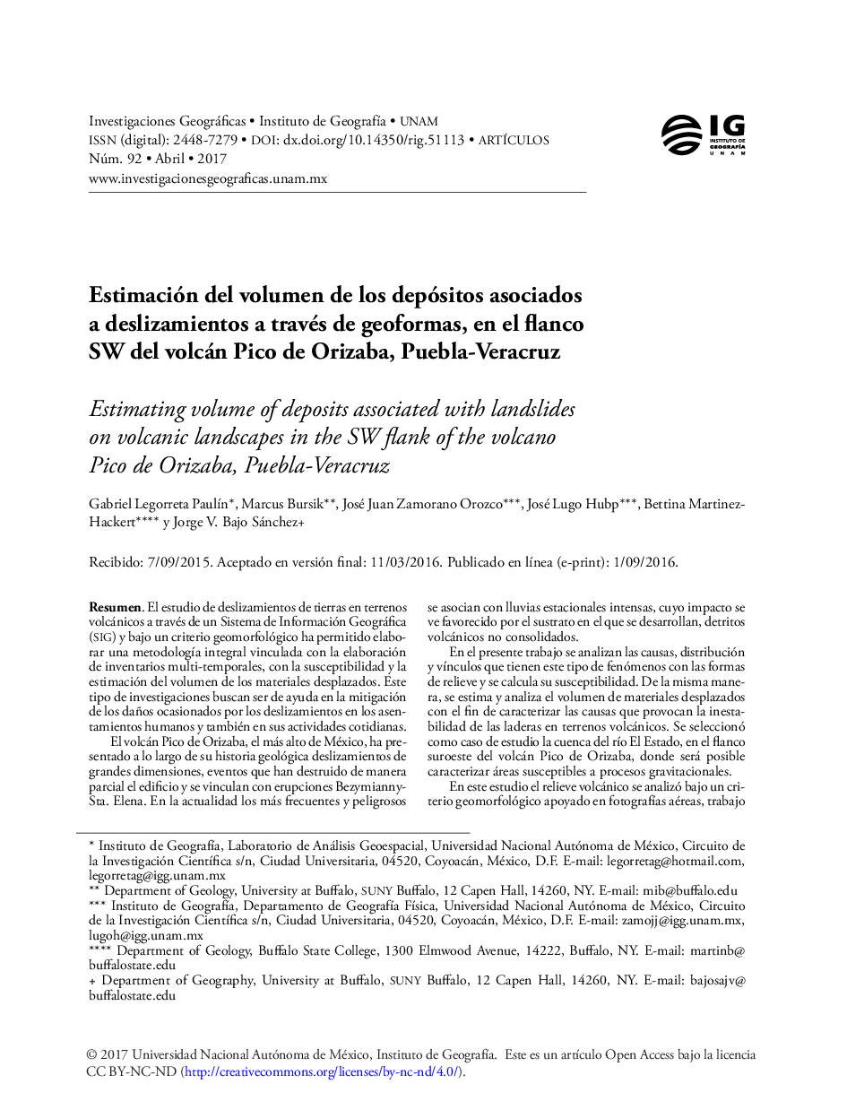
Estimación del volumen de los depósitos asociados a deslizamientos a través de geoformas, en el flanco SW del volcán Pico de Orizaba, Puebla-Veracruz
دانلود مقاله + سفارش ترجمه
دانلود مقاله ISI انگلیسی
رایگان برای ایرانیان
کلمات کلیدی
موضوعات مرتبط
علوم انسانی و اجتماعی
علوم اجتماعی
جغرافیا، برنامه ریزی و توسعه
پیش نمایش صفحه اول مقاله

چکیده انگلیسی
In this paper, the cause, distribution, and link between landslides and the volcanic landscape relief susceptibility are analyzed. Similarly, the volume of displaced material is estimated in order to characterize the landslide instability in volcanic terrains. The RÃo El Estado watershed on the southwestern flank of Pico de Orizaba volcano is selected to describe and analyze susceptible areas of gravitational processes. The study area allows to show a systematic methodology for landslide mapping and volume calculation in areas with scarce information. The methodology encompasses three main stages of analysis. In the first stage, background information is collected to provide context and establish a generalized characterization of landslide processes, landsforms and volumes within the study area. Background information includes the following maps: topographic, geologic, land use, climate, slope, slope curvature, contributing area, flow direction, saturation, reclassified hypsomety, reclassified slope, and morphography. By retrieval and on-off switching of the background information in the gis, a base map is created to assist in the digitizing of landslides. The base map and the theoretical aspects of the geomorphological mapping help to develop a conceptual base of support for mapping landslides. Landslides are digitized directly into a geographic information system (gis), and in parallel, a spatial geodatabase of landslides attributes (eg. size, volume, activity, landslide type, etc.) is constructed. Previous landslide mapping in the study area is verified and new landslides are added to the landslide inventory.Once the locations of landslides are mapped and evaluated, similar potential landslide areas are grouped into individual landforms. During the second stage, the volcanic relief is analyzed under a geomorphological criterion based on aerial photographs, fieldwork, and detailed mapping and the results are adjusted to the landslide hazard zonation protocol from Washington State, Department of Natural Resources, USA. For each volcanic landform a semi-quantitative susceptibility rating is obtained from values that correspond to the total area of landslides and the number of landslides within each landform; and they are normalized for the total period of time spanned between sets of aerial orthophotographs (fourteen years period). These normalized variables are referred to as the landslide area rate and the landslide frequency rate, respectively.Finally, for the third stage, the volume of material delivered by landslides to the main river is estimated by using an empirical area-volume relationship. The results allow us to understand the long-term evolution of the fluvial system in southwestern flank of Pico de Orizaba volcano. They also show a useful mapping methodology for developing inventories, assessing susceptibility, and estimated volumes associated with landslides in volcanic terrains.
ناشر
Database: Elsevier - ScienceDirect (ساینس دایرکت)
Journal: Investigaciones Geográficas, BoletÃn del Instituto de GeografÃa - Volume 2017, Issue 92, April 2017, Pages 21-33
Journal: Investigaciones Geográficas, BoletÃn del Instituto de GeografÃa - Volume 2017, Issue 92, April 2017, Pages 21-33
نویسندگان
Gabriel Legorreta PaulÃn, Marcus Bursik, José Juan Zamorano Orozco, José Lugo Hubp, Bettina Martinez-Hackert, Jorge V. Bajo Sánchez,