| کد مقاله | کد نشریه | سال انتشار | مقاله انگلیسی | نسخه تمام متن |
|---|---|---|---|---|
| 7474100 | 1485176 | 2017 | 10 صفحه PDF | دانلود رایگان |
عنوان انگلیسی مقاله ISI
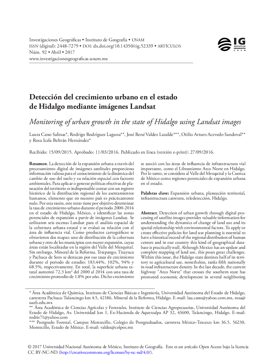
Detección del crecimiento urbano en el estado de Hidalgo mediante imágenes Landsat
دانلود مقاله + سفارش ترجمه
دانلود مقاله ISI انگلیسی
رایگان برای ایرانیان
کلمات کلیدی
موضوعات مرتبط
علوم انسانی و اجتماعی
علوم اجتماعی
جغرافیا، برنامه ریزی و توسعه
پیش نمایش صفحه اول مقاله

چکیده انگلیسی
Given this background, this paper is focused on the generation of geographic information for regional urban planning and the overall aim is to examine urban growth rate during the period 2000-2014 in the state of Hidalgo, Mexico and identify potential areas of expansion from Landsat images. The methodology was based on techniques of remote sensing and Geographical Information System (GIS). The inputs used were six Landsat scenes: three for 2000 year and three for 2014. Image processing was performed on ERDAS Imagine® 9.1 and the spatial analysis of urban coverage statewide on ArcGIS 10.0 by ESRI®. First, the radiometric correction was made and we obtained the urban polygons of the 2000 year through of supervised classification. The 2014 urban layer was digitized manually due to the spectral incompatibility between the bands of the Landsat sensor 5 and 7, and the Landsat sensor 8. Then, we build a road density map and the spatial relationship of the urban centers with the road influence area was evaluated. For the year 2000, 103 urban polygons were mapped, whilst for 2014 were identified ten polygons more with a mapped minimum area of 24 ha. The main results indicated that in the state has increased 72.3 km2 urban area from 2000 to 2014. This represents an average growth rate of 1.8% per year. The most widespread municipalities are located in the region of Valle del Mezquital, however, Mineral de la Reforma, Tetepango, Tizayuca and Pachuca showed growth rates of 183.44%, 102% 94% and 68.5% in fourteen years, respectively. According to the road map density, these municipalities are located in areas of greatest influence of infrastructure as the Arco Norte highway in the state. The above findings, lead us to conclude that the Mezquital Valley and the Basin of Mexico are potential areas of urban spreading and it is associated with road development in the Central Mexico.
ناشر
Database: Elsevier - ScienceDirect (ساینس دایرکت)
Journal: Investigaciones Geográficas, BoletÃn del Instituto de GeografÃa - Volume 2017, Issue 92, April 2017, Pages 64-73
Journal: Investigaciones Geográficas, BoletÃn del Instituto de GeografÃa - Volume 2017, Issue 92, April 2017, Pages 64-73
نویسندگان
Laura Cano Salinas, Rodrigo RodrÃguez Laguna, José René Valdez Lazalde, Otilio Arturo Acevedo Sandoval, Rosa Icela Beltrán Hernández,