| کد مقاله | کد نشریه | سال انتشار | مقاله انگلیسی | نسخه تمام متن |
|---|---|---|---|---|
| 8846247 | 1617654 | 2018 | 9 صفحه PDF | دانلود رایگان |
عنوان انگلیسی مقاله ISI
A novel Multilevel Biodiversity Index (MBI) for combined field and satellite imagery surveys
دانلود مقاله + سفارش ترجمه
دانلود مقاله ISI انگلیسی
رایگان برای ایرانیان
کلمات کلیدی
موضوعات مرتبط
علوم زیستی و بیوفناوری
علوم کشاورزی و بیولوژیک
بوم شناسی، تکامل، رفتار و سامانه شناسی
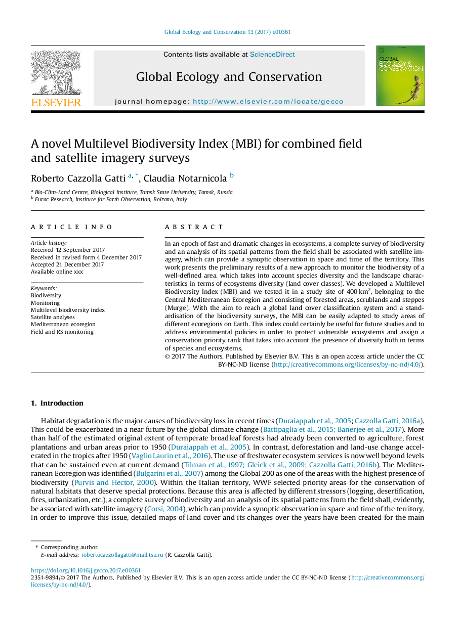
پیش نمایش صفحه اول مقاله

چکیده انگلیسی
In an epoch of fast and dramatic changes in ecosystems, a complete survey of biodiversity and an analysis of its spatial patterns from the field shall be associated with satellite imagery, which can provide a synoptic observation in space and time of the territory. This work presents the preliminary results of a new approach to monitor the biodiversity of a well-defined area, which takes into account species diversity and the landscape characteristics in terms of ecosystems diversity (land cover classes). We developed a Multilevel Biodiversity Index (MBI) and we tested it in a study site of 400â¯km2, belonging to the Central Mediterranean Ecoregion and consisting of forested areas, scrublands and steppes (Murge). With the aim to reach a global land cover classification system and a standardisation of the biodiversity surveys, the MBI can be easily adapted to study areas of different ecoregions on Earth. This index could certainly be useful for future studies and to address environmental policies in order to protect vulnerable ecosystems and assign a conservation priority rank that takes into account the presence of diversity both in terms of species and ecosystems.
ناشر
Database: Elsevier - ScienceDirect (ساینس دایرکت)
Journal: Global Ecology and Conservation - Volume 13, January 2018, e00361
Journal: Global Ecology and Conservation - Volume 13, January 2018, e00361
نویسندگان
Roberto Cazzolla Gatti, Claudia Notarnicola,