| کد مقاله | کد نشریه | سال انتشار | مقاله انگلیسی | نسخه تمام متن |
|---|---|---|---|---|
| 9446198 | 1304654 | 2005 | 11 صفحه PDF | دانلود رایگان |
عنوان انگلیسی مقاله ISI
Geographic information system (GIS) predictions of past, present habitat distribution and areas for re-introduction of the endangered subtropical rainforest shrub Triunia robusta (Proteaceae) from south-east Queensland Australia
دانلود مقاله + سفارش ترجمه
دانلود مقاله ISI انگلیسی
رایگان برای ایرانیان
کلمات کلیدی
موضوعات مرتبط
علوم زیستی و بیوفناوری
علوم کشاورزی و بیولوژیک
بوم شناسی، تکامل، رفتار و سامانه شناسی
پیش نمایش صفحه اول مقاله

چکیده انگلیسی
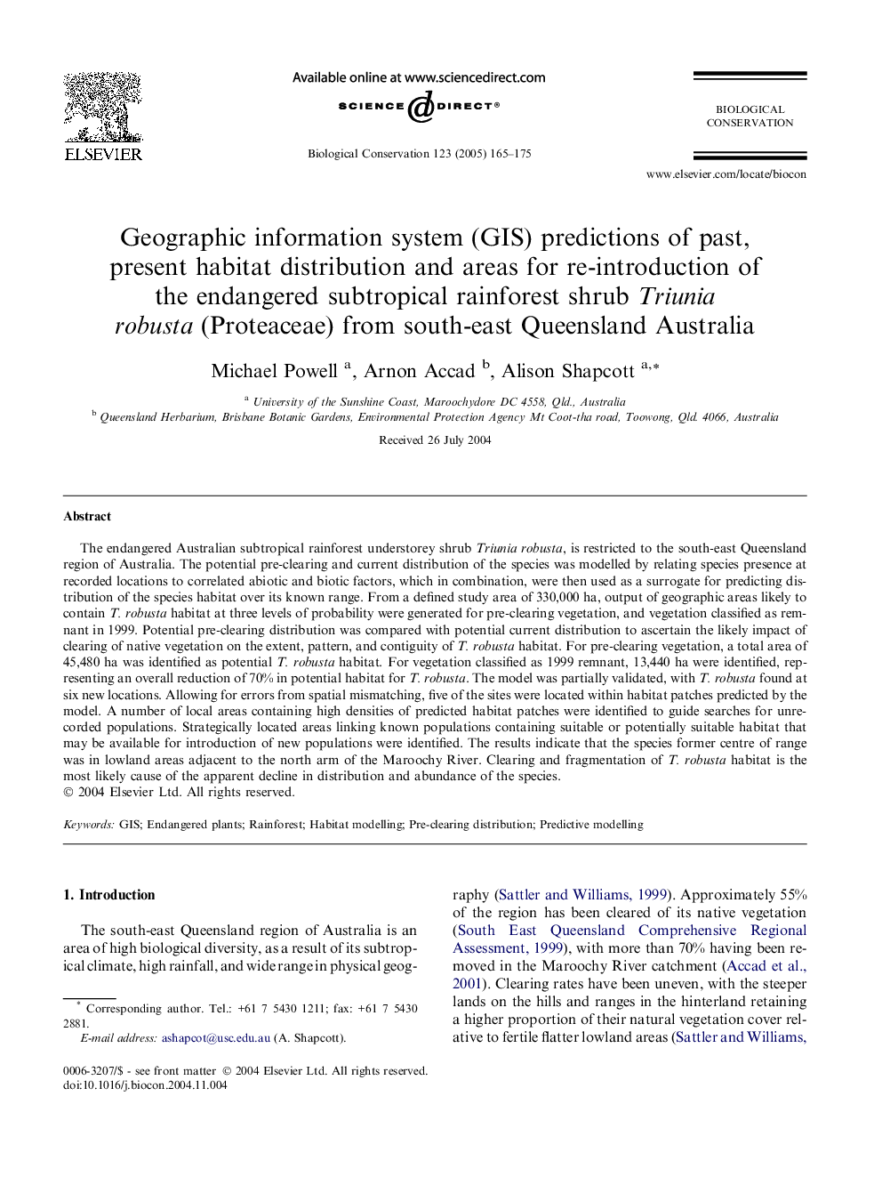
The endangered Australian subtropical rainforest understorey shrub Triunia robusta, is restricted to the south-east Queensland region of Australia. The potential pre-clearing and current distribution of the species was modelled by relating species presence at recorded locations to correlated abiotic and biotic factors, which in combination, were then used as a surrogate for predicting distribution of the species habitat over its known range. From a defined study area of 330,000 ha, output of geographic areas likely to contain T. robusta habitat at three levels of probability were generated for pre-clearing vegetation, and vegetation classified as remnant in 1999. Potential pre-clearing distribution was compared with potential current distribution to ascertain the likely impact of clearing of native vegetation on the extent, pattern, and contiguity of T. robusta habitat. For pre-clearing vegetation, a total area of 45,480 ha was identified as potential T. robusta habitat. For vegetation classified as 1999 remnant, 13,440 ha were identified, representing an overall reduction of 70% in potential habitat for T. robusta. The model was partially validated, with T. robusta found at six new locations. Allowing for errors from spatial mismatching, five of the sites were located within habitat patches predicted by the model. A number of local areas containing high densities of predicted habitat patches were identified to guide searches for unrecorded populations. Strategically located areas linking known populations containing suitable or potentially suitable habitat that may be available for introduction of new populations were identified. The results indicate that the species former centre of range was in lowland areas adjacent to the north arm of the Maroochy River. Clearing and fragmentation of T. robusta habitat is the most likely cause of the apparent decline in distribution and abundance of the species.
ناشر
Database: Elsevier - ScienceDirect (ساینس دایرکت)
Journal: Biological Conservation - Volume 123, Issue 2, May 2005, Pages 165-175
Journal: Biological Conservation - Volume 123, Issue 2, May 2005, Pages 165-175
نویسندگان
Michael Powell, Arnon Accad, Alison Shapcott,