| کد مقاله | کد نشریه | سال انتشار | مقاله انگلیسی | نسخه تمام متن |
|---|---|---|---|---|
| 9758349 | 1496743 | 2005 | 20 صفحه PDF | دانلود رایگان |
عنوان انگلیسی مقاله ISI
Spatial and temporal distributions of surface temperature and chlorophyll in the Gulf of Maine during 1998 using SeaWiFS and AVHRR imagery
دانلود مقاله + سفارش ترجمه
دانلود مقاله ISI انگلیسی
رایگان برای ایرانیان
کلمات کلیدی
موضوعات مرتبط
مهندسی و علوم پایه
شیمی
شیمی (عمومی)
پیش نمایش صفحه اول مقاله

چکیده انگلیسی
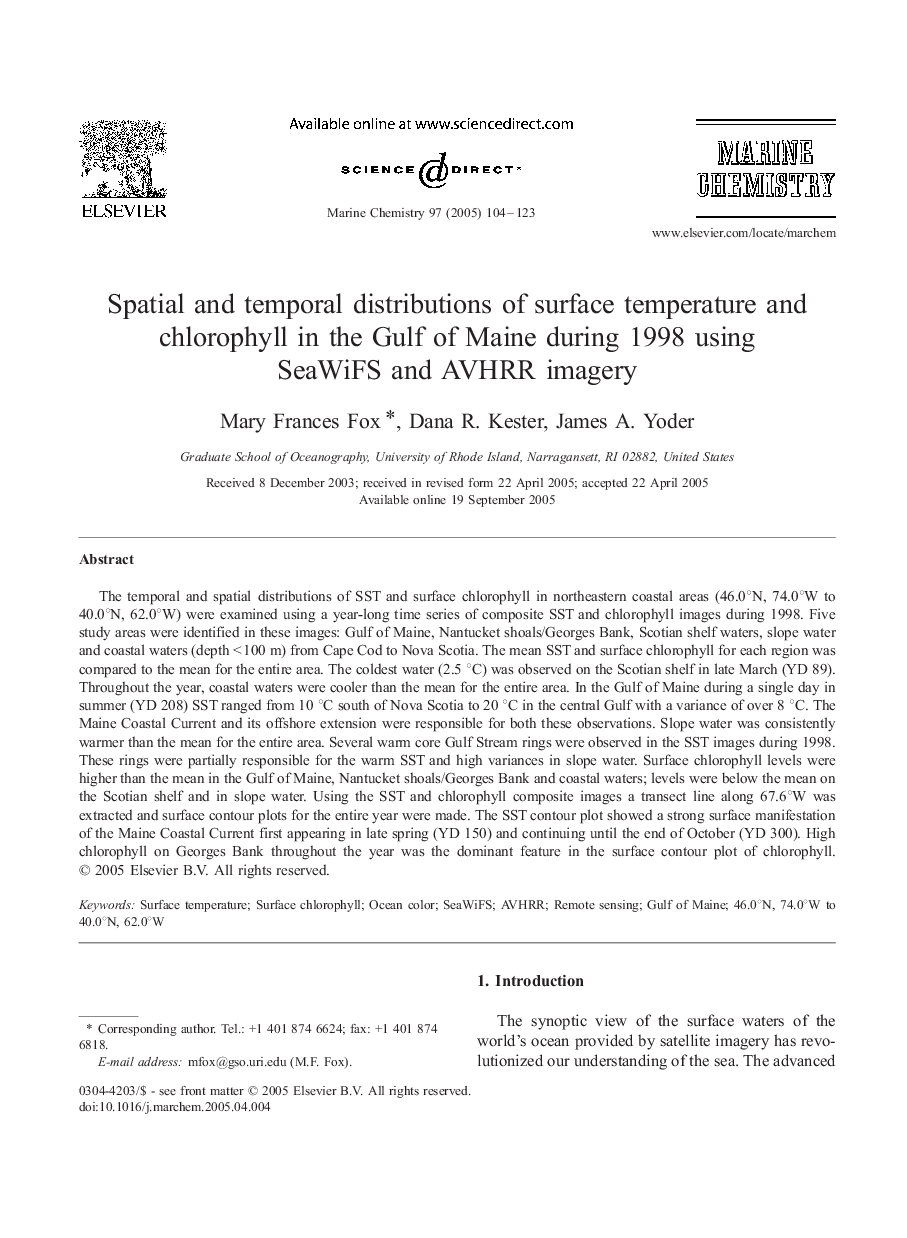
The temporal and spatial distributions of SST and surface chlorophyll in northeastern coastal areas (46.0°N, 74.0°W to 40.0°N, 62.0°W) were examined using a year-long time series of composite SST and chlorophyll images during 1998. Five study areas were identified in these images: Gulf of Maine, Nantucket shoals/Georges Bank, Scotian shelf waters, slope water and coastal waters (depth < 100 m) from Cape Cod to Nova Scotia. The mean SST and surface chlorophyll for each region was compared to the mean for the entire area. The coldest water (2.5 °C) was observed on the Scotian shelf in late March (YD 89). Throughout the year, coastal waters were cooler than the mean for the entire area. In the Gulf of Maine during a single day in summer (YD 208) SST ranged from 10 °C south of Nova Scotia to 20 °C in the central Gulf with a variance of over 8 °C. The Maine Coastal Current and its offshore extension were responsible for both these observations. Slope water was consistently warmer than the mean for the entire area. Several warm core Gulf Stream rings were observed in the SST images during 1998. These rings were partially responsible for the warm SST and high variances in slope water. Surface chlorophyll levels were higher than the mean in the Gulf of Maine, Nantucket shoals/Georges Bank and coastal waters; levels were below the mean on the Scotian shelf and in slope water. Using the SST and chlorophyll composite images a transect line along 67.6°W was extracted and surface contour plots for the entire year were made. The SST contour plot showed a strong surface manifestation of the Maine Coastal Current first appearing in late spring (YD 150) and continuing until the end of October (YD 300). High chlorophyll on Georges Bank throughout the year was the dominant feature in the surface contour plot of chlorophyll.
ناشر
Database: Elsevier - ScienceDirect (ساینس دایرکت)
Journal: Marine Chemistry - Volume 97, Issues 1â2, 20 October 2005, Pages 104-123
Journal: Marine Chemistry - Volume 97, Issues 1â2, 20 October 2005, Pages 104-123
نویسندگان
Mary Frances Fox, Dana R. Kester, James A. Yoder,