| کد مقاله | کد نشریه | سال انتشار | مقاله انگلیسی | نسخه تمام متن |
|---|---|---|---|---|
| 10249987 | 158960 | 2005 | 17 صفحه PDF | دانلود رایگان |
عنوان انگلیسی مقاله ISI
Comparing multiple criteria decision methods to extend a geographical information system on afforestation
دانلود مقاله + سفارش ترجمه
دانلود مقاله ISI انگلیسی
رایگان برای ایرانیان
کلمات کلیدی
موضوعات مرتبط
مهندسی و علوم پایه
مهندسی کامپیوتر
نرم افزارهای علوم کامپیوتر
پیش نمایش صفحه اول مقاله

چکیده انگلیسی
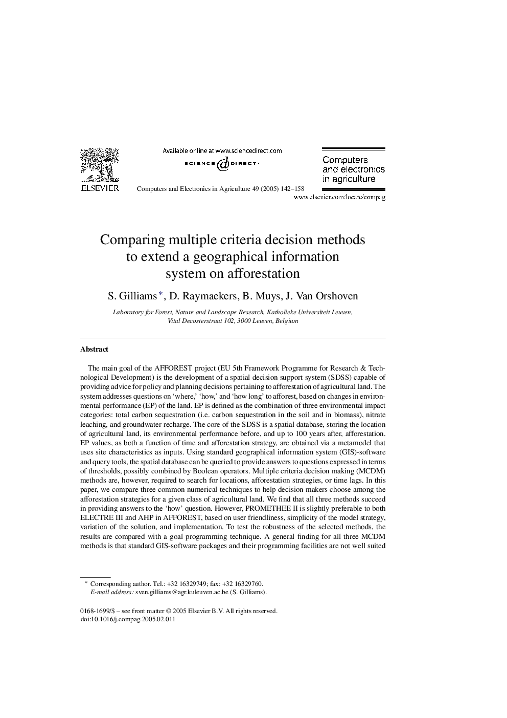
The main goal of the AFFOREST project (EU 5th Framework Programme for Research & Technological Development) is the development of a spatial decision support system (SDSS) capable of providing advice for policy and planning decisions pertaining to afforestation of agricultural land. The system addresses questions on 'where,' 'how,' and 'how long' to afforest, based on changes in environmental performance (EP) of the land. EP is defined as the combination of three environmental impact categories: total carbon sequestration (i.e. carbon sequestration in the soil and in biomass), nitrate leaching, and groundwater recharge. The core of the SDSS is a spatial database, storing the location of agricultural land, its environmental performance before, and up to 100 years after, afforestation. EP values, as both a function of time and afforestation strategy, are obtained via a metamodel that uses site characteristics as inputs. Using standard geographical information system (GIS)-software and query tools, the spatial database can be queried to provide answers to questions expressed in terms of thresholds, possibly combined by Boolean operators. Multiple criteria decision making (MCDM) methods are, however, required to search for locations, afforestation strategies, or time lags. In this paper, we compare three common numerical techniques to help decision makers choose among the afforestation strategies for a given class of agricultural land. We find that all three methods succeed in providing answers to the 'how' question. However, PROMETHEE II is slightly preferable to both ELECTRE III and AHP in AFFOREST, based on user friendliness, simplicity of the model strategy, variation of the solution, and implementation. To test the robustness of the selected methods, the results are compared with a goal programming technique. A general finding for all three MCDM methods is that standard GIS-software packages and their programming facilities are not well suited for a full integration of MCDM-routines. Therefore, a loose coupling with the GIS-environment is required.
ناشر
Database: Elsevier - ScienceDirect (ساینس دایرکت)
Journal: Computers and Electronics in Agriculture - Volume 49, Issue 1, October 2005, Pages 142-158
Journal: Computers and Electronics in Agriculture - Volume 49, Issue 1, October 2005, Pages 142-158
نویسندگان
S. Gilliams, D. Raymaekers, B. Muys, J. Van Orshoven,