| کد مقاله | کد نشریه | سال انتشار | مقاله انگلیسی | نسخه تمام متن |
|---|---|---|---|---|
| 1733345 | 1016139 | 2012 | 8 صفحه PDF | دانلود رایگان |
عنوان انگلیسی مقاله ISI
Artificial neural networks for the generation of geothermal maps of ground temperature at various depths by considering land configuration
دانلود مقاله + سفارش ترجمه
دانلود مقاله ISI انگلیسی
رایگان برای ایرانیان
موضوعات مرتبط
مهندسی و علوم پایه
مهندسی انرژی
انرژی (عمومی)
پیش نمایش صفحه اول مقاله

چکیده انگلیسی
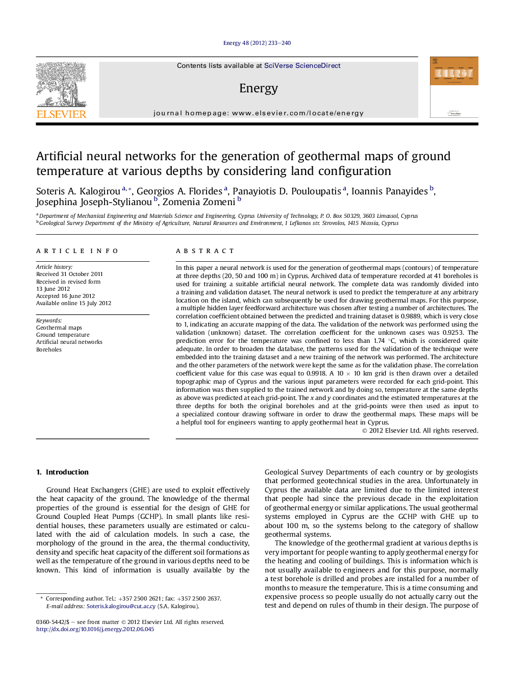
In this paper a neural network is used for the generation of geothermal maps (contours) of temperature at three depths (20, 50 and 100 m) in Cyprus. Archived data of temperature recorded at 41 boreholes is used for training a suitable artificial neural network. The complete data was randomly divided into a training and validation dataset. The neural network is used to predict the temperature at any arbitrary location on the island, which can subsequently be used for drawing geothermal maps. For this purpose, a multiple hidden layer feedforward architecture was chosen after testing a number of architectures. The correlation coefficient obtained between the predicted and training dataset is 0.9889, which is very close to 1, indicating an accurate mapping of the data. The validation of the network was performed using the validation (unknown) dataset. The correlation coefficient for the unknown cases was 0.9253. The prediction error for the temperature was confined to less than 1.74 °C, which is considered quite adequate. In order to broaden the database, the patterns used for the validation of the technique were embedded into the training dataset and a new training of the network was performed. The architecture and the other parameters of the network were kept the same as for the validation phase. The correlation coefficient value for this case was equal to 0.9918. A 10 Ã 10 km grid is then drawn over a detailed topographic map of Cyprus and the various input parameters were recorded for each grid-point. This information was then supplied to the trained network and by doing so, temperature at the same depths as above was predicted at each grid-point. The x and y coordinates and the estimated temperatures at the three depths for both the original boreholes and at the grid-points were then used as input to a specialized contour drawing software in order to draw the geothermal maps. These maps will be a helpful tool for engineers wanting to apply geothermal heat in Cyprus.
ناشر
Database: Elsevier - ScienceDirect (ساینس دایرکت)
Journal: Energy - Volume 48, Issue 1, December 2012, Pages 233-240
Journal: Energy - Volume 48, Issue 1, December 2012, Pages 233-240
نویسندگان
Soteris A. Kalogirou, Georgios A. Florides, Panayiotis D. Pouloupatis, Ioannis Panayides, Josephina Joseph-Stylianou, Zomenia Zomeni,