| کد مقاله | کد نشریه | سال انتشار | مقاله انگلیسی | نسخه تمام متن |
|---|---|---|---|---|
| 4928906 | 1432197 | 2017 | 16 صفحه PDF | دانلود رایگان |
عنوان انگلیسی مقاله ISI
Estimating pedestrian demand for active transport evaluation and planning
ترجمه فارسی عنوان
برآورد تقاضای عابران پیاده برای ارزیابی و برنامه ریزی حمل و نقل فعال
دانلود مقاله + سفارش ترجمه
دانلود مقاله ISI انگلیسی
رایگان برای ایرانیان
کلمات کلیدی
تقاضای عابر پیاده، پیروزی، حمل و نقل فعال، نحو فضایی، لندن،
ترجمه چکیده
این مقاله یک رویکرد مبتنی بر دست اندرکاران توسعه یافته برای ارزیابی رابطه محیط زیست با فعالیت های عابر پیاده و همچنین استفاده از این ارزیابی در تولید یک مدل تقاضای عابر پیاده در لندن که از شاخص های ساخته شده محیط است، ارائه شده است. این رویکرد در یکپارچه سازی اقدامات نحو فضایی برای ارزیابی قابلیت دسترسی شبکه و استفاده از نسبت حجم محدوده برای اندازه گیری شدت استفاده از زمین ریشه دارد. از سطوح اطلاعات جغرافیایی با وضوح بالا برای تولید متغیرهای محیط ساخته شده استفاده می کند. مزیت استفاده از این روش این است که اجازه می دهد انعطاف پذیری تحلیلی بیشتری در سیاست و عمل حمل و نقل، جایی که توانایی مقایسه نتایج تحلیلی با دیگر شاخص های اجتماعی و فضایی برای تصمیم گیری حیاتی است. داده های تراکم عابرین پیاده روی کل لندن بزرگ برای آزمون عملکرد متغیرها مورد استفاده قرار می گیرند. سپس بهترین متغیرها برای تعیین وزن خود در یک مدل تقاضای عابر پیاده برای لندن بر اساس شاخص انتخاب محیط ساخته شده تجزیه و تحلیل شدند. تست تصادفی نشان می دهد که این مدل قابلیت اطمینان پیش بینی تقاضای عابرین پیاده را دارد. این می تواند برای برآورد تقاضای عابران پیاده در حال حاضر و برای سناریوهای آینده با استفاده از تغییرات آینده در محیط ساخته شده مورد استفاده قرار گیرد و به این ترتیب می تواند راه رفتن را به گونه ای سنجیده شود که به طور مشابه در حالت های موتورسواری مورد سنجش قرار گیرد. این مدل را می توان برای برنامه ریزی و ارزیابی زیرساخت های مسافرتی فعال، از مقیاس خیابان یا تقاطع، به واحد های اداری بزرگتر اعمال کرد. این مدل همچنین دارای مفاهیم نظری و سیاسی گسترده ای است که مربوط به ساختار فضایی لندن است.
موضوعات مرتبط
مهندسی و علوم پایه
سایر رشته های مهندسی
مهندسی عمران و سازه
چکیده انگلیسی
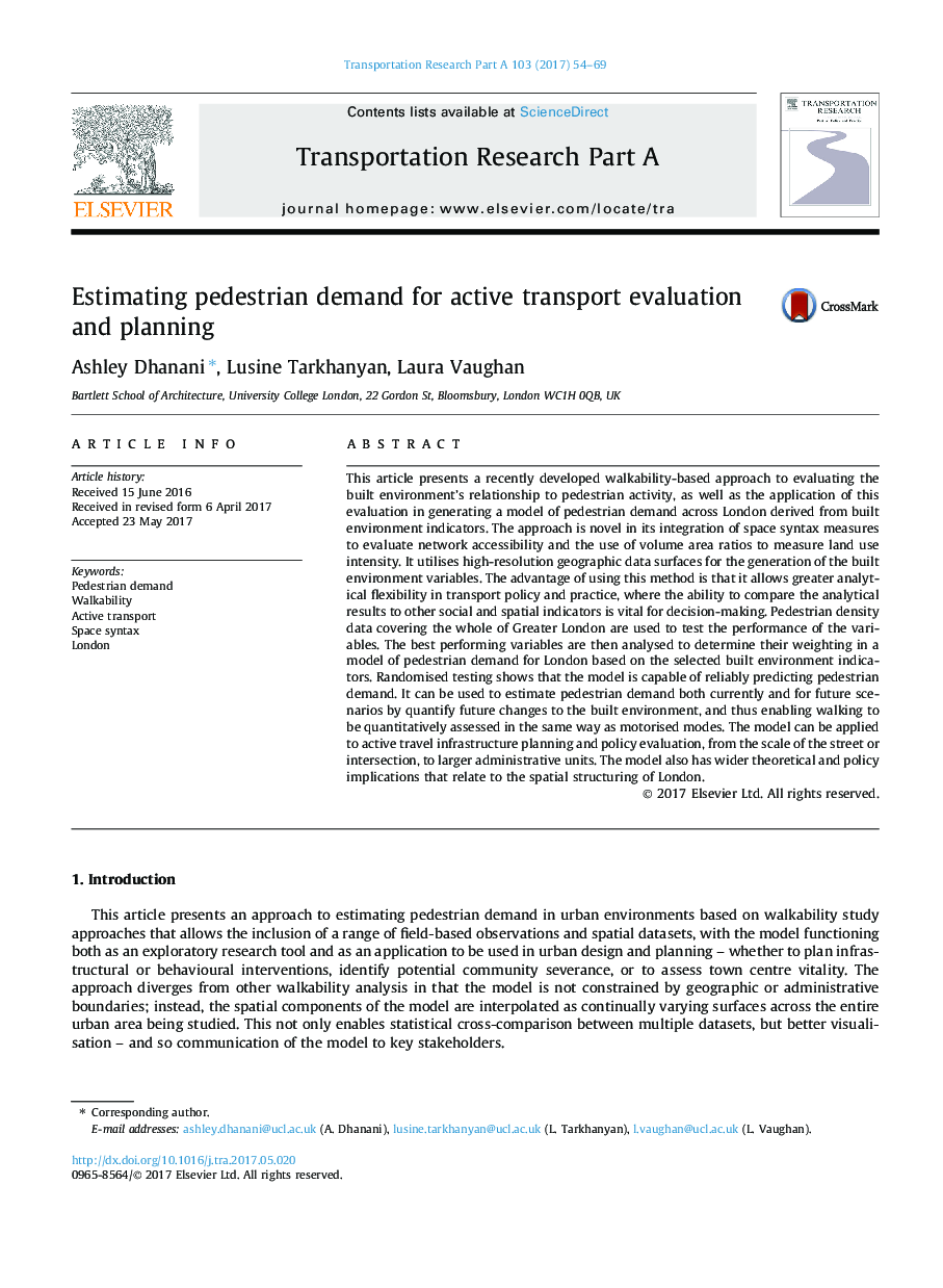
This article presents a recently developed walkability-based approach to evaluating the built environment's relationship to pedestrian activity, as well as the application of this evaluation in generating a model of pedestrian demand across London derived from built environment indicators. The approach is novel in its integration of space syntax measures to evaluate network accessibility and the use of volume area ratios to measure land use intensity. It utilises high-resolution geographic data surfaces for the generation of the built environment variables. The advantage of using this method is that it allows greater analytical flexibility in transport policy and practice, where the ability to compare the analytical results to other social and spatial indicators is vital for decision-making. Pedestrian density data covering the whole of Greater London are used to test the performance of the variables. The best performing variables are then analysed to determine their weighting in a model of pedestrian demand for London based on the selected built environment indicators. Randomised testing shows that the model is capable of reliably predicting pedestrian demand. It can be used to estimate pedestrian demand both currently and for future scenarios by quantify future changes to the built environment, and thus enabling walking to be quantitatively assessed in the same way as motorised modes. The model can be applied to active travel infrastructure planning and policy evaluation, from the scale of the street or intersection, to larger administrative units. The model also has wider theoretical and policy implications that relate to the spatial structuring of London.
ناشر
Database: Elsevier - ScienceDirect (ساینس دایرکت)
Journal: Transportation Research Part A: Policy and Practice - Volume 103, September 2017, Pages 54-69
Journal: Transportation Research Part A: Policy and Practice - Volume 103, September 2017, Pages 54-69
نویسندگان
Ashley Dhanani, Lusine Tarkhanyan, Laura Vaughan,
