| کد مقاله | کد نشریه | سال انتشار | مقاله انگلیسی | نسخه تمام متن |
|---|---|---|---|---|
| 4978415 | 1452370 | 2016 | 5 صفحه PDF | دانلود رایگان |
عنوان انگلیسی مقاله ISI
Open cyberGIS software for geospatial research and education in the big data era
دانلود مقاله + سفارش ترجمه
دانلود مقاله ISI انگلیسی
رایگان برای ایرانیان
موضوعات مرتبط
مهندسی و علوم پایه
مهندسی کامپیوتر
نرم افزار
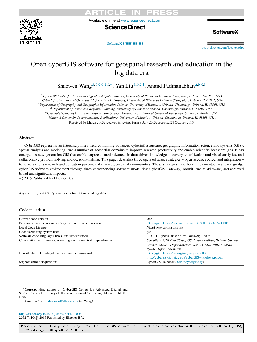
پیش نمایش صفحه اول مقاله

چکیده انگلیسی
CyberGIS represents an interdisciplinary field combining advanced cyberinfrastructure, geographic information science and systems (GIS), spatial analysis and modeling, and a number of geospatial domains to improve research productivity and enable scientific breakthroughs. It has emerged as new-generation GIS that enable unprecedented advances in data-driven knowledge discovery, visualization and visual analytics, and collaborative problem solving and decision-making. This paper describes three open software strategies-open access, source, and integration-to serve various research and education purposes of diverse geospatial communities. These strategies have been implemented in a leading-edge cyberGIS software environment through three corresponding software modalities: CyberGIS Gateway, Toolkit, and Middleware, and achieved broad and significant impacts.
ناشر
Database: Elsevier - ScienceDirect (ساینس دایرکت)
Journal: SoftwareX - Volume 5, 2016, Pages 1-5
Journal: SoftwareX - Volume 5, 2016, Pages 1-5
نویسندگان
Shaowen Wang, Yan Liu, Anand Padmanabhan,