| کد مقاله | کد نشریه | سال انتشار | مقاله انگلیسی | نسخه تمام متن |
|---|---|---|---|---|
| 5006409 | 1461474 | 2018 | 11 صفحه PDF | دانلود رایگان |
عنوان انگلیسی مقاله ISI
GPR imaging and characterization of ancient Roman ruins in the Aquileia Archaeological Park, NE Italy
دانلود مقاله + سفارش ترجمه
دانلود مقاله ISI انگلیسی
رایگان برای ایرانیان
کلمات کلیدی
موضوعات مرتبط
مهندسی و علوم پایه
سایر رشته های مهندسی
کنترل و سیستم های مهندسی
پیش نمایش صفحه اول مقاله

چکیده انگلیسی
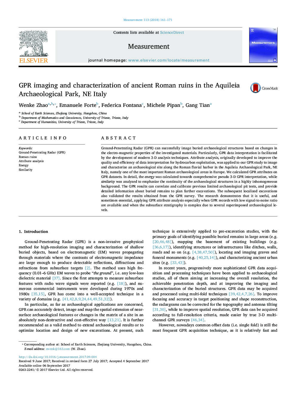
Ground-Penetrating Radar (GPR) can successfully image buried archaeological structures based on changes in the electro-magnetic properties of the investigated materials. Particularly, GPR data interpretation is facilitated by the development of modern 3-D analysis techniques. Attribute analysis, originally developed to improve the quality and efficiency of data interpretation for hydrocarbon exploitation, was applied to our GPR study to image and characterize an archaeological site along the Roman fluvial harbor in the Aquileia Archaeological Park, NE Italy, namely one of the most important Roman archaeological areas in Europe. We calculated GPR attributes on GPR datasets. In detail, the energy was calculated towards comprehensive pseudo 3-D GPR interpretation, while similarity was analyzed to emphasize the continuity of the archaeological structures in a highly inhomogeneous background. The GPR results can correlate and calibrate previous limited archaeological pit tests, and provide detailed information about buried remains to plan further excavations. The subsequent localized excavations also validated the results obtained from the GPR survey. The research demonstrates that it is useful, and sometimes essential, applying GPR attribute analysis especially when GPR records with low signal-to-noise ratio are available and when the subsurface stratigraphy is complex due to several superimposed archaeological levels.
ناشر
Database: Elsevier - ScienceDirect (ساینس دایرکت)
Journal: Measurement - Volume 113, January 2018, Pages 161-171
Journal: Measurement - Volume 113, January 2018, Pages 161-171
نویسندگان
Wenke Zhao, Emanuele Forte, Federica Fontana, Michele Pipan, Gang Tian,