| کد مقاله | کد نشریه | سال انتشار | مقاله انگلیسی | نسخه تمام متن |
|---|---|---|---|---|
| 5012656 | 1462818 | 2017 | 10 صفحه PDF | دانلود رایگان |
عنوان انگلیسی مقاله ISI
LiDAR technology for wind energy potential assessment: Demonstration and validation at a site around Lake Erie
دانلود مقاله + سفارش ترجمه
دانلود مقاله ISI انگلیسی
رایگان برای ایرانیان
کلمات کلیدی
موضوعات مرتبط
مهندسی و علوم پایه
مهندسی انرژی
انرژی (عمومی)
پیش نمایش صفحه اول مقاله

چکیده انگلیسی
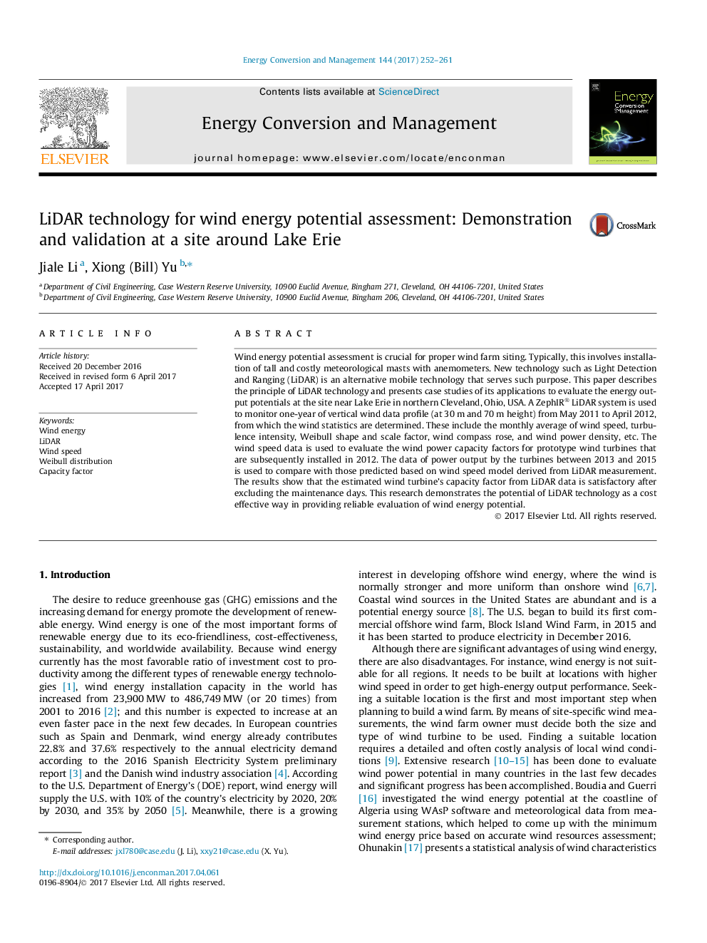
Wind energy potential assessment is crucial for proper wind farm siting. Typically, this involves installation of tall and costly meteorological masts with anemometers. New technology such as Light Detection and Ranging (LiDAR) is an alternative mobile technology that serves such purpose. This paper describes the principle of LiDAR technology and presents case studies of its applications to evaluate the energy output potentials at the site near Lake Erie in northern Cleveland, Ohio, USA. A ZephIR® LiDAR system is used to monitor one-year of vertical wind data profile (at 30Â m and 70Â m height) from May 2011 to April 2012, from which the wind statistics are determined. These include the monthly average of wind speed, turbulence intensity, Weibull shape and scale factor, wind compass rose, and wind power density, etc. The wind speed data is used to evaluate the wind power capacity factors for prototype wind turbines that are subsequently installed in 2012. The data of power output by the turbines between 2013 and 2015 is used to compare with those predicted based on wind speed model derived from LiDAR measurement. The results show that the estimated wind turbine's capacity factor from LiDAR data is satisfactory after excluding the maintenance days. This research demonstrates the potential of LiDAR technology as a cost effective way in providing reliable evaluation of wind energy potential.
ناشر
Database: Elsevier - ScienceDirect (ساینس دایرکت)
Journal: Energy Conversion and Management - Volume 144, 15 July 2017, Pages 252-261
Journal: Energy Conversion and Management - Volume 144, 15 July 2017, Pages 252-261
نویسندگان
Jiale Li, Xiong (Bill) Yu,