| کد مقاله | کد نشریه | سال انتشار | مقاله انگلیسی | نسخه تمام متن |
|---|---|---|---|---|
| 5755525 | 1621795 | 2017 | 8 صفحه PDF | دانلود رایگان |
عنوان انگلیسی مقاله ISI
Geolokit: An interactive tool for visualising and exploring geoscientific data in Google Earth
دانلود مقاله + سفارش ترجمه
دانلود مقاله ISI انگلیسی
رایگان برای ایرانیان
کلمات کلیدی
موضوعات مرتبط
مهندسی و علوم پایه
علوم زمین و سیارات
کامپیوتر در علوم زمین
پیش نمایش صفحه اول مقاله

چکیده انگلیسی
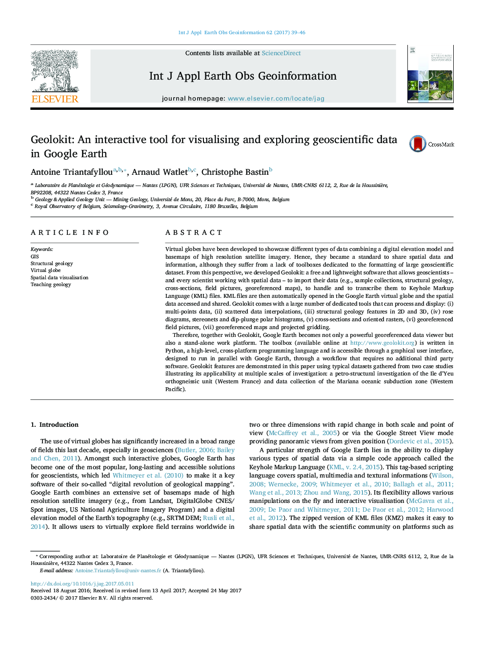
Therefore, together with Geolokit, Google Earth becomes not only a powerful georeferenced data viewer but also a stand-alone work platform. The toolbox (available online at http://www.geolokit.org) is written in Python, a high-level, cross-platform programming language and is accessible through a graphical user interface, designed to run in parallel with Google Earth, through a workflow that requires no additional third party software. Geolokit features are demonstrated in this paper using typical datasets gathered from two case studies illustrating its applicability at multiple scales of investigation: a petro-structural investigation of the Ile d'Yeu orthogneissic unit (Western France) and data collection of the Mariana oceanic subduction zone (Western Pacific).
ناشر
Database: Elsevier - ScienceDirect (ساینس دایرکت)
Journal: International Journal of Applied Earth Observation and Geoinformation - Volume 62, October 2017, Pages 39-46
Journal: International Journal of Applied Earth Observation and Geoinformation - Volume 62, October 2017, Pages 39-46
نویسندگان
Antoine Triantafyllou, Arnaud Watlet, Christophe Bastin,