| کد مقاله | کد نشریه | سال انتشار | مقاله انگلیسی | نسخه تمام متن |
|---|---|---|---|---|
| 6546695 | 1421811 | 2018 | 10 صفحه PDF | دانلود رایگان |
عنوان انگلیسی مقاله ISI
Peri-urbanisation and loss of arable land in Kumasi Metropolis in three decades: Evidence from remote sensing image analysis
دانلود مقاله + سفارش ترجمه
دانلود مقاله ISI انگلیسی
رایگان برای ایرانیان
کلمات کلیدی
موضوعات مرتبط
علوم زیستی و بیوفناوری
علوم کشاورزی و بیولوژیک
جنگلداری
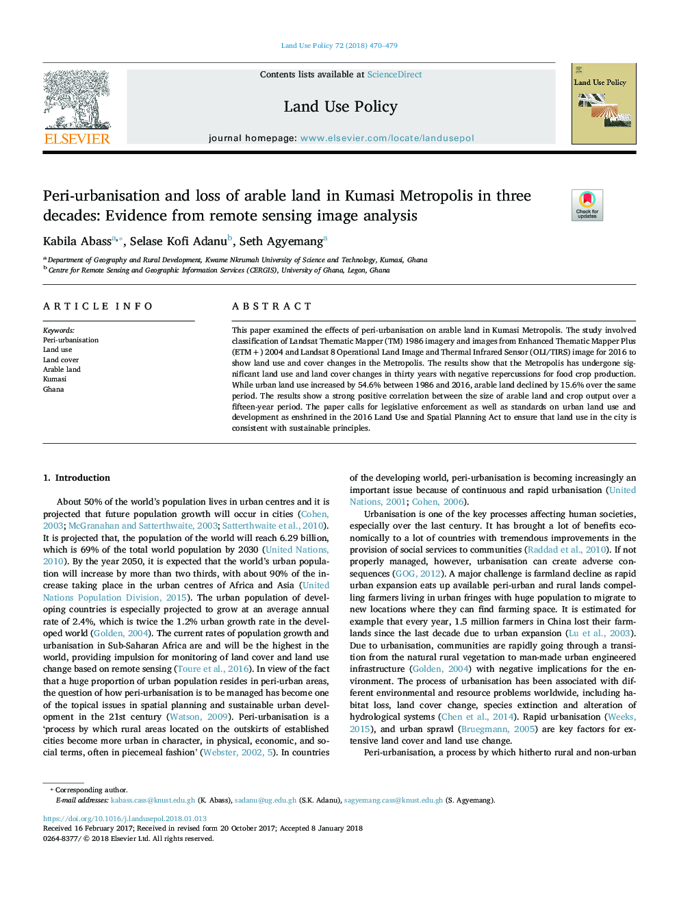
پیش نمایش صفحه اول مقاله

چکیده انگلیسی
This paper examined the effects of peri-urbanisation on arable land in Kumasi Metropolis. The study involved classification of Landsat Thematic Mapper (TM) 1986 imagery and images from Enhanced Thematic Mapper Plus (ETM+) 2004 and Landsat 8 Operational Land Image and Thermal Infrared Sensor (OLI/TIRS) image for 2016 to show land use and cover changes in the Metropolis. The results show that the Metropolis has undergone significant land use and land cover changes in thirty years with negative repercussions for food crop production. While urban land use increased by 54.6% between 1986 and 2016, arable land declined by 15.6% over the same period. The results show a strong positive correlation between the size of arable land and crop output over a fifteen-year period. The paper calls for legislative enforcement as well as standards on urban land use and development as enshrined in the 2016 Land Use and Spatial Planning Act to ensure that land use in the city is consistent with sustainable principles.
ناشر
Database: Elsevier - ScienceDirect (ساینس دایرکت)
Journal: Land Use Policy - Volume 72, March 2018, Pages 470-479
Journal: Land Use Policy - Volume 72, March 2018, Pages 470-479
نویسندگان
Kabila Abass, Selase Kofi Adanu, Seth Agyemang,