| کد مقاله | کد نشریه | سال انتشار | مقاله انگلیسی | نسخه تمام متن |
|---|---|---|---|---|
| 6949093 | 1451232 | 2018 | 11 صفحه PDF | دانلود رایگان |
عنوان انگلیسی مقاله ISI
Comparison of high-density LiDAR and satellite photogrammetry for forest inventory
دانلود مقاله + سفارش ترجمه
دانلود مقاله ISI انگلیسی
رایگان برای ایرانیان
کلمات کلیدی
موضوعات مرتبط
مهندسی و علوم پایه
مهندسی کامپیوتر
سیستم های اطلاعاتی
پیش نمایش صفحه اول مقاله

چکیده انگلیسی
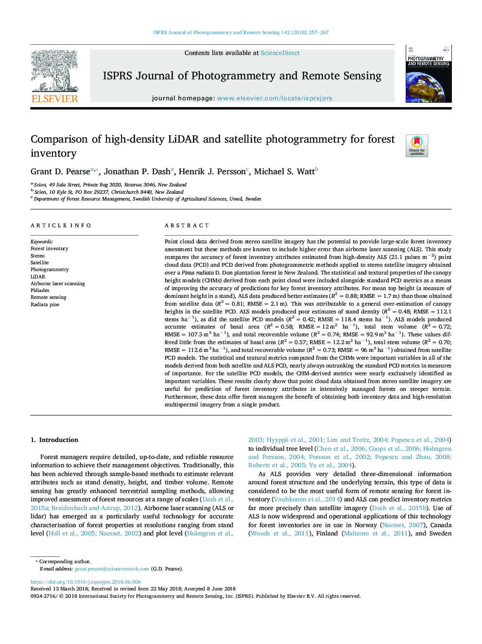
Point cloud data derived from stereo satellite imagery has the potential to provide large-scale forest inventory assessment but these methods are known to include higher error than airborne laser scanning (ALS). This study compares the accuracy of forest inventory attributes estimated from high-density ALS (21.1 pulses mâ2) point cloud data (PCD) and PCD derived from photogrammetric methods applied to stereo satellite imagery obtained over a Pinus radiata D. Don plantation forest in New Zealand. The statistical and textural properties of the canopy height models (CHMs) derived from each point cloud were included alongside standard PCD metrics as a means of improving the accuracy of predictions for key forest inventory attributes. For mean top height (a measure of dominant height in a stand), ALS data produced better estimates (R2â¯=â¯0.88; RMSEâ¯=â¯1.7â¯m) than those obtained from satellite data (R2â¯=â¯0.81; RMSEâ¯=â¯2.1â¯m). This was attributable to a general over-estimation of canopy heights in the satellite PCD. ALS models produced poor estimates of stand density (R2â¯=â¯0.48; RMSEâ¯=â¯112.1 stems haâ1), as did the satellite PCD models (R2â¯=â¯0.42; RMSEâ¯=â¯118.4 stems haâ1). ALS models produced accurate estimates of basal area (R2â¯=â¯0.58; RMSEâ¯=â¯12â¯m2 haâ1), total stem volume (R2â¯=â¯0.72; RMSEâ¯=â¯107.5â¯m3 haâ1), and total recoverable volume (R2â¯=â¯0.74; RMSEâ¯=â¯92.9â¯m3 haâ1). These values differed little from the estimates of basal area (R2â¯=â¯0.57; RMSEâ¯=â¯12.2â¯m2 haâ1), total stem volume (R2â¯=â¯0.70; RMSEâ¯=â¯112.6â¯m3 haâ1), and total recoverable volume (R2â¯=â¯0.73; RMSEâ¯=â¯96â¯m3 haâ1) obtained from satellite PCD models. The statistical and textural metrics computed from the CHMs were important variables in all of the models derived from both satellite and ALS PCD, nearly always outranking the standard PCD metrics in measures of importance. For the satellite PCD models, the CHM-derived metrics were nearly exclusively identified as important variables. These results clearly show that point cloud data obtained from stereo satellite imagery are useful for prediction of forest inventory attributes in intensively managed forests on steeper terrain. Furthermore, these data offer forest managers the benefit of obtaining both inventory data and high-resolution multispectral imagery from a single product.
ناشر
Database: Elsevier - ScienceDirect (ساینس دایرکت)
Journal: ISPRS Journal of Photogrammetry and Remote Sensing - Volume 142, August 2018, Pages 257-267
Journal: ISPRS Journal of Photogrammetry and Remote Sensing - Volume 142, August 2018, Pages 257-267
نویسندگان
Grant D. Pearse, Jonathan P. Dash, Henrik J. Persson, Michael S. Watt,