| کد مقاله | کد نشریه | سال انتشار | مقاله انگلیسی | نسخه تمام متن |
|---|---|---|---|---|
| 8845426 | 1617113 | 2018 | 11 صفحه PDF | دانلود رایگان |
عنوان انگلیسی مقاله ISI
A new remote sensing index for assessing the spatial heterogeneity in urban ecological quality: A case from Fuzhou City, China
دانلود مقاله + سفارش ترجمه
دانلود مقاله ISI انگلیسی
رایگان برای ایرانیان
موضوعات مرتبط
علوم زیستی و بیوفناوری
علوم کشاورزی و بیولوژیک
بوم شناسی، تکامل، رفتار و سامانه شناسی
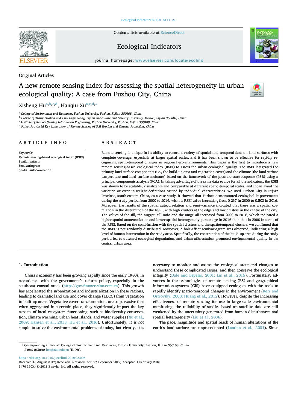
پیش نمایش صفحه اول مقاله

چکیده انگلیسی
Remote sensing is unique in its ability to record a variety of spatial and temporal data on land surfaces with complete coverage, especially at larger spatial scales, and it has been shown to be effective for rapidly recognizing spatio-temporal changes in regional eco-environments. This paper is the first to introduce a new remote sensing-based ecological index (RSEI) to assess the urban ecological quality. The RSEI integrated the primary land surface components (i.e., the build-up area and vegetation cover) and the climate (the land surface temperature and land surface moisture) based on the framework of the pressure-state-response (PSR) using a principal components analysis (PCA). In taking advantage of the same data source for all the indicators, the RSEI was shown to be scalable, visualizable and comparable at different spatio-temporal scales, and it can avoid the variation or error in weight definitions caused by individual characteristics. We used Fuzhou City in Fujian Province, south-eastern China, as a case study, it showed that Fuzhou demonstrated ecological deterioration during the study period from 2000 to 2016, with its RSEI value decreasing from 0.595 in 2000 to 0.503 in 2016. Moreover, the results of the spatial autocorrelation and semi-variance indicated that there was a spatial correlation in the distribution of the RSEI, with high clusters at the edge and low clusters in the centre of the city. The values of the sill, the nugget: sill ratio and the range all increased from 2000 to 2016, which indicated a higher spatial autocorrelation and lower spatial heterogeneity percentage in 2016 than that in 2000 in terms of the RSEI. Based on the combination with the spatial clusters and the spatiotemporal clusters, we confirmed that the RSEI is not randomly distributed. Moreover, a hole-effect semivariogram was observed, indicating a high level of human intervention in the study area. Specifically, the construction of the build-up area during the study period led to outward ecological degradation, and urban afforestation promoted environmental quality in the central urban area.
ناشر
Database: Elsevier - ScienceDirect (ساینس دایرکت)
Journal: Ecological Indicators - Volume 89, June 2018, Pages 11-21
Journal: Ecological Indicators - Volume 89, June 2018, Pages 11-21
نویسندگان
Xisheng Hu, Hanqiu Xu,