| کد مقاله | کد نشریه | سال انتشار | مقاله انگلیسی | نسخه تمام متن |
|---|---|---|---|---|
| 8867963 | 1621791 | 2018 | 13 صفحه PDF | دانلود رایگان |
عنوان انگلیسی مقاله ISI
Segmentation schema for enhancing land cover identification: A case study using Sentinel 2 data
دانلود مقاله + سفارش ترجمه
دانلود مقاله ISI انگلیسی
رایگان برای ایرانیان
کلمات کلیدی
موضوعات مرتبط
مهندسی و علوم پایه
علوم زمین و سیارات
کامپیوتر در علوم زمین
پیش نمایش صفحه اول مقاله

چکیده انگلیسی
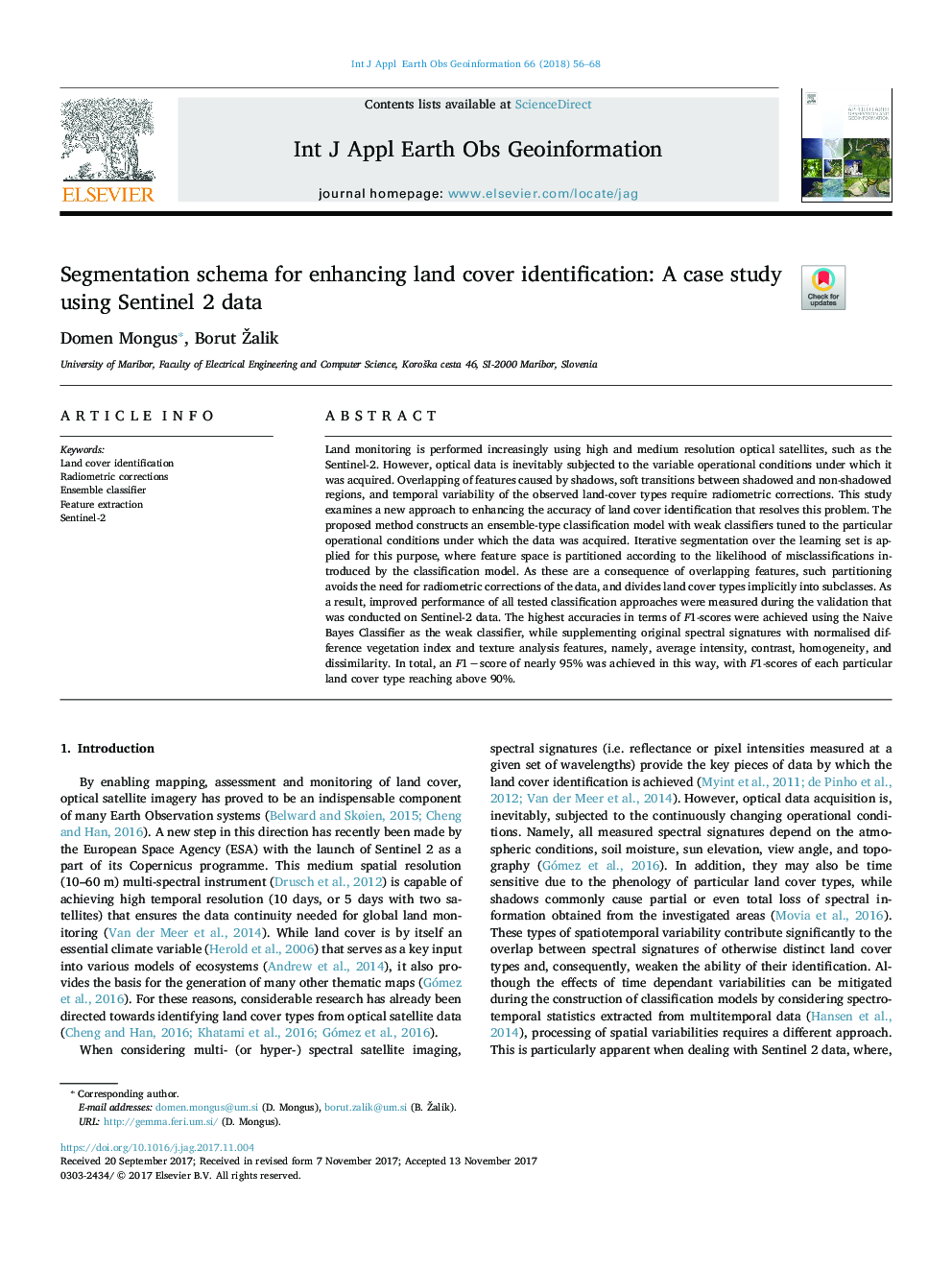
Land monitoring is performed increasingly using high and medium resolution optical satellites, such as the Sentinel-2. However, optical data is inevitably subjected to the variable operational conditions under which it was acquired. Overlapping of features caused by shadows, soft transitions between shadowed and non-shadowed regions, and temporal variability of the observed land-cover types require radiometric corrections. This study examines a new approach to enhancing the accuracy of land cover identification that resolves this problem. The proposed method constructs an ensemble-type classification model with weak classifiers tuned to the particular operational conditions under which the data was acquired. Iterative segmentation over the learning set is applied for this purpose, where feature space is partitioned according to the likelihood of misclassifications introduced by the classification model. As these are a consequence of overlapping features, such partitioning avoids the need for radiometric corrections of the data, and divides land cover types implicitly into subclasses. As a result, improved performance of all tested classification approaches were measured during the validation that was conducted on Sentinel-2 data. The highest accuracies in terms of F1-scores were achieved using the Naive Bayes Classifier as the weak classifier, while supplementing original spectral signatures with normalised difference vegetation index and texture analysis features, namely, average intensity, contrast, homogeneity, and dissimilarity. In total, an F1âscore of nearly 95% was achieved in this way, with F1-scores of each particular land cover type reaching above 90%.
ناشر
Database: Elsevier - ScienceDirect (ساینس دایرکت)
Journal: International Journal of Applied Earth Observation and Geoinformation - Volume 66, April 2018, Pages 56-68
Journal: International Journal of Applied Earth Observation and Geoinformation - Volume 66, April 2018, Pages 56-68
نویسندگان
Domen Mongus, Borut Žalik,