| کد مقاله | کد نشریه | سال انتشار | مقاله انگلیسی | نسخه تمام متن |
|---|---|---|---|---|
| 8907860 | 1635293 | 2018 | 6 صفحه PDF | دانلود رایگان |
عنوان انگلیسی مقاله ISI
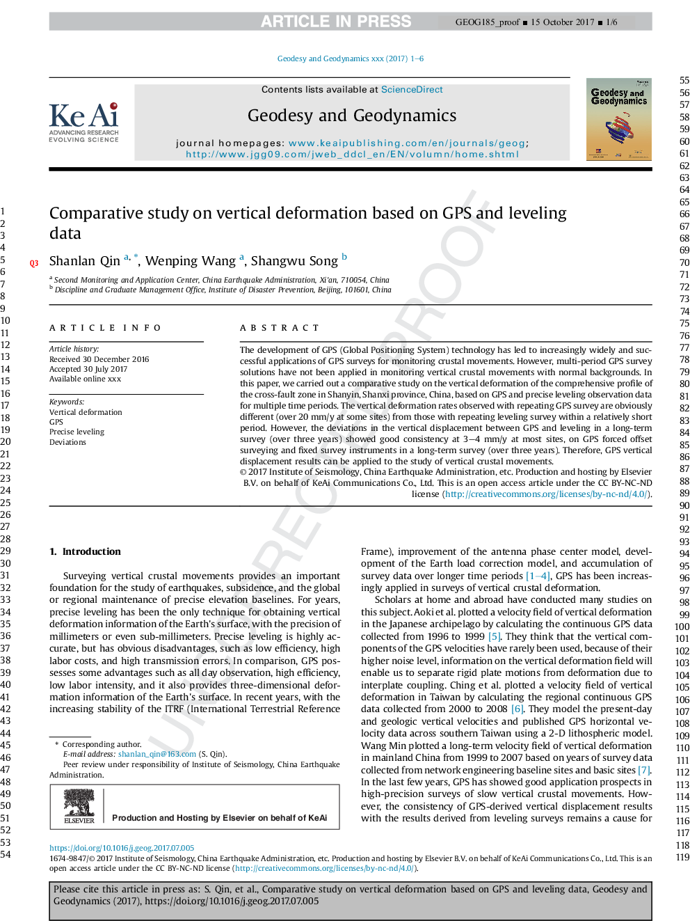
Comparative study on vertical deformation based on GPS and leveling data
دانلود مقاله + سفارش ترجمه
دانلود مقاله ISI انگلیسی
رایگان برای ایرانیان
کلمات کلیدی
موضوعات مرتبط
مهندسی و علوم پایه
علوم زمین و سیارات
فرآیندهای سطح زمین
پیش نمایش صفحه اول مقاله

چکیده انگلیسی
The development of GPS (Global Positioning System) technology has led to increasingly widely and successful applications of GPS surveys for monitoring crustal movements. However, multi-period GPS survey solutions have not been applied in monitoring vertical crustal movements with normal backgrounds. In this paper, we carried out a comparative study on the vertical deformation of the comprehensive profile of the cross-fault zone in Shanyin, Shanxi province, China, based on GPS and precise leveling observation data for multiple time periods. The vertical deformation rates observed with repeating GPS survey are obviously different (over 20Â mm/y at some sites) from those with repeating leveling survey within a relatively short period. However, the deviations in the vertical displacement between GPS and leveling in a long-term survey (over three years) showed good consistency at 3-4Â mm/y at most sites, on GPS forced offset surveying and fixed survey instruments in a long-term survey (over three years). Therefore, GPS vertical displacement results can be applied to the study of vertical crustal movements.
ناشر
Database: Elsevier - ScienceDirect (ساینس دایرکت)
Journal: Geodesy and Geodynamics - Volume 9, Issue 2, March 2018, Pages 115-120
Journal: Geodesy and Geodynamics - Volume 9, Issue 2, March 2018, Pages 115-120
نویسندگان
Shanlan Qin, Wenping Wang, Shangwu Song,