| کد مقاله | کد نشریه | سال انتشار | مقاله انگلیسی | نسخه تمام متن |
|---|---|---|---|---|
| 8953126 | 1645913 | 2018 | 9 صفحه PDF | دانلود رایگان |
عنوان انگلیسی مقاله ISI
Spatial modelling for natural and environmental vulnerability through remote sensing and GIS in Astrakhan, Russia
دانلود مقاله + سفارش ترجمه
دانلود مقاله ISI انگلیسی
رایگان برای ایرانیان
کلمات کلیدی
موضوعات مرتبط
مهندسی و علوم پایه
علوم زمین و سیارات
علوم زمین و سیاره ای (عمومی)
پیش نمایش صفحه اول مقاله

چکیده انگلیسی
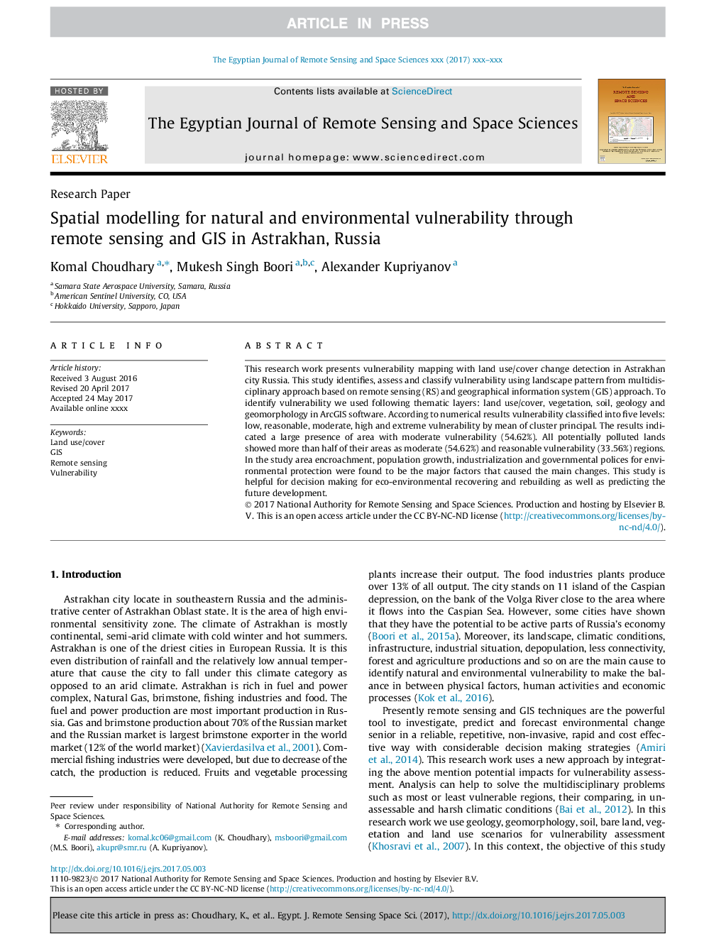
This research work presents vulnerability mapping with land use/cover change detection in Astrakhan city Russia. This study identifies, assess and classify vulnerability using landscape pattern from multidisciplinary approach based on remote sensing (RS) and geographical information system (GIS) approach. To identify vulnerability we used following thematic layers: land use/cover, vegetation, soil, geology and geomorphology in ArcGIS software. According to numerical results vulnerability classified into five levels: low, reasonable, moderate, high and extreme vulnerability by mean of cluster principal. The results indicated a large presence of area with moderate vulnerability (54.62%). All potentially polluted lands showed more than half of their areas as moderate (54.62%) and reasonable vulnerability (33.56%) regions. In the study area encroachment, population growth, industrialization and governmental polices for environmental protection were found to be the major factors that caused the main changes. This study is helpful for decision making for eco-environmental recovering and rebuilding as well as predicting the future development.
ناشر
Database: Elsevier - ScienceDirect (ساینس دایرکت)
Journal: The Egyptian Journal of Remote Sensing and Space Science - Volume 21, Issue 2, September 2018, Pages 139-147
Journal: The Egyptian Journal of Remote Sensing and Space Science - Volume 21, Issue 2, September 2018, Pages 139-147
نویسندگان
Komal Choudhary, Mukesh Singh Boori, Alexander Kupriyanov,