| کد مقاله | کد نشریه | سال انتشار | مقاله انگلیسی | نسخه تمام متن |
|---|---|---|---|---|
| 9489934 | 1629270 | 2005 | 13 صفحه PDF | دانلود رایگان |
عنوان انگلیسی مقاله ISI
Monitoring of gully erosion on the Loess Plateau of China using a global positioning system
دانلود مقاله + سفارش ترجمه
دانلود مقاله ISI انگلیسی
رایگان برای ایرانیان
کلمات کلیدی
موضوعات مرتبط
مهندسی و علوم پایه
علوم زمین و سیارات
فرآیندهای سطح زمین
پیش نمایش صفحه اول مقاله

چکیده انگلیسی
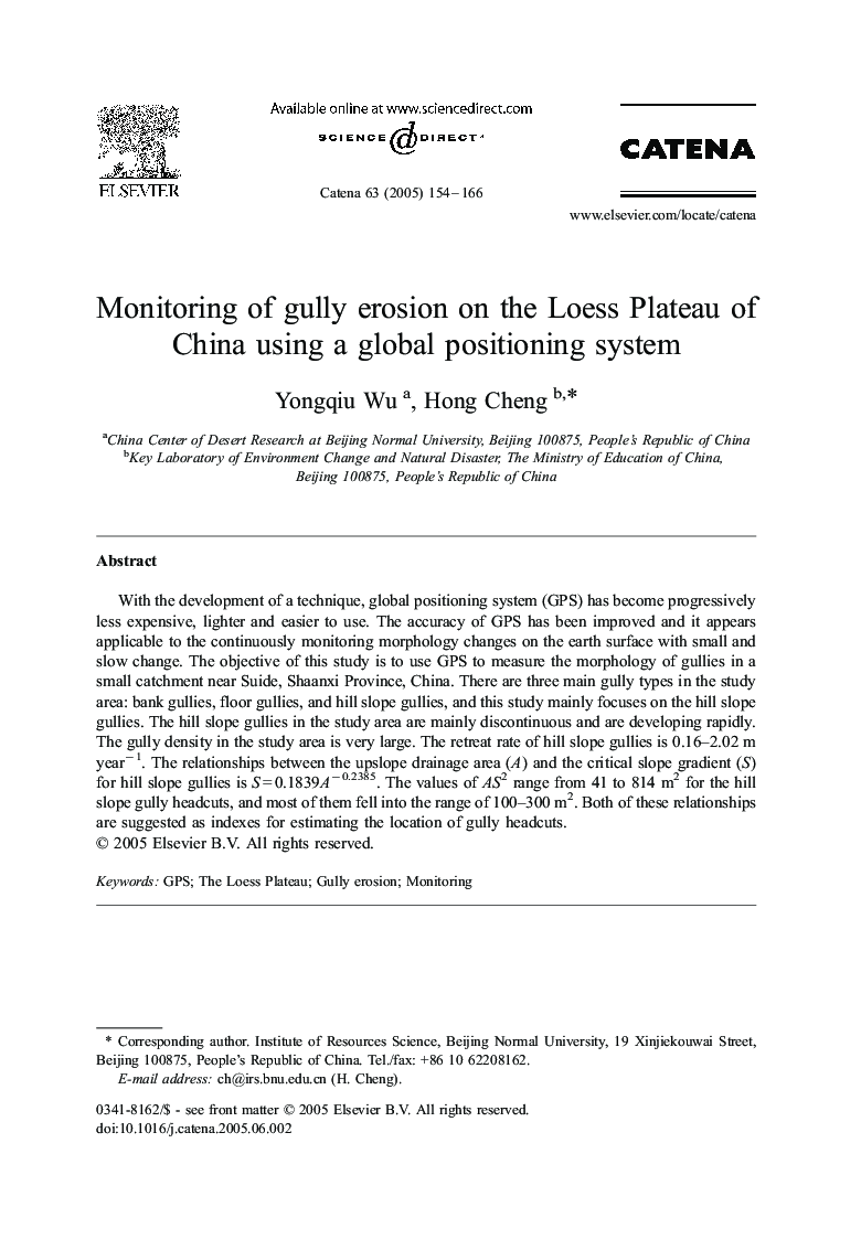
With the development of a technique, global positioning system (GPS) has become progressively less expensive, lighter and easier to use. The accuracy of GPS has been improved and it appears applicable to the continuously monitoring morphology changes on the earth surface with small and slow change. The objective of this study is to use GPS to measure the morphology of gullies in a small catchment near Suide, Shaanxi Province, China. There are three main gully types in the study area: bank gullies, floor gullies, and hill slope gullies, and this study mainly focuses on the hill slope gullies. The hill slope gullies in the study area are mainly discontinuous and are developing rapidly. The gully density in the study area is very large. The retreat rate of hill slope gullies is 0.16-2.02 m yearâ 1. The relationships between the upslope drainage area (A) and the critical slope gradient (S) for hill slope gullies is S = 0.1839Aâ 0.2385. The values of AS2 range from 41 to 814 m2 for the hill slope gully headcuts, and most of them fell into the range of 100-300 m2. Both of these relationships are suggested as indexes for estimating the location of gully headcuts.
ناشر
Database: Elsevier - ScienceDirect (ساینس دایرکت)
Journal: CATENA - Volume 63, Issues 2â3, 31 October 2005, Pages 154-166
Journal: CATENA - Volume 63, Issues 2â3, 31 October 2005, Pages 154-166
نویسندگان
Yongqiu Wu, Hong Cheng,