| کد مقاله | کد نشریه | سال انتشار | مقاله انگلیسی | نسخه تمام متن |
|---|---|---|---|---|
| 9489935 | 1629270 | 2005 | 18 صفحه PDF | دانلود رایگان |
عنوان انگلیسی مقاله ISI
Spatial and temporal assessment of linear erosion in catchments under sloping lands of northern Laos
دانلود مقاله + سفارش ترجمه
دانلود مقاله ISI انگلیسی
رایگان برای ایرانیان
موضوعات مرتبط
مهندسی و علوم پایه
علوم زمین و سیارات
فرآیندهای سطح زمین
پیش نمایش صفحه اول مقاله

چکیده انگلیسی
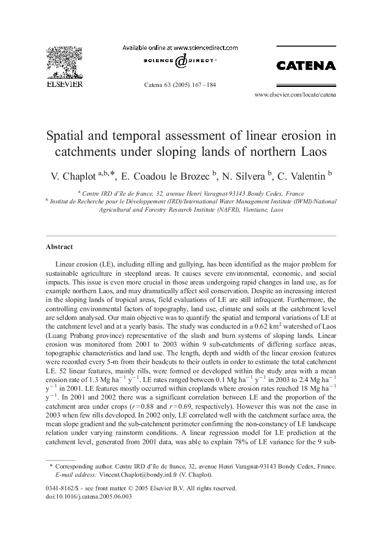
Linear erosion (LE), including rilling and gullying, has been identified as the major problem for sustainable agriculture in steepland areas. It causes severe environmental, economic, and social impacts. This issue is even more crucial in those areas undergoing rapid changes in land use, as for example northern Laos, and may dramatically affect soil conservation. Despite an increasing interest in the sloping lands of tropical areas, field evaluations of LE are still infrequent. Furthermore, the controlling environmental factors of topography, land use, climate and soils at the catchment level are seldom analysed. Our main objective was to quantify the spatial and temporal variations of LE at the catchment level and at a yearly basis. The study was conducted in a 0.62 km2 watershed of Laos (Luang Prabang province) representative of the slash and burn systems of sloping lands. Linear erosion was monitored from 2001 to 2003 within 9 sub-catchments of differing surface areas, topographic characteristics and land use. The length, depth and width of the linear erosion features were recorded every 5-m from their headcuts to their outlets in order to estimate the total catchment LE. 52 linear features, mainly rills, were formed or developed within the study area with a mean erosion rate of 1.3 Mg haâ 1 yâ 1. LE rates ranged between 0.1 Mg haâ 1 yâ 1 in 2003 to 2.4 Mg haâ 1 yâ 1 in 2001. LE features mostly occurred within croplands where erosion rates reached 18 Mg haâ 1 yâ 1. In 2001 and 2002 there was a significant correlation between LE and the proportion of the catchment area under crops (r = 0.88 and r = 0.69, respectively). However this was not the case in 2003 when few rills developed. In 2002 only, LE correlated well with the catchment surface area, the mean slope gradient and the sub-catchment perimeter confirming the non-constancy of LE landscape relation under varying rainstorm conditions. A linear regression model for LE prediction at the catchment level, generated from 2001 data, was able to explain 78% of LE variance for the 9 sub-catchments. However, this model was unable to predict accurately LE for 2002 and 2003 (ME > 5 Mg haâ 1 yâ 1). This method for quantifying the linear erosion at the catchment level and some of its controlling factors can also be used for prediction over larger areas since topography and land use data, closely correlated with LE, are easily accessible.
ناشر
Database: Elsevier - ScienceDirect (ساینس دایرکت)
Journal: CATENA - Volume 63, Issues 2â3, 31 October 2005, Pages 167-184
Journal: CATENA - Volume 63, Issues 2â3, 31 October 2005, Pages 167-184
نویسندگان
V. Chaplot, E. Coadou le Brozec, N. Silvera, C. Valentin,