| کد مقاله | کد نشریه | سال انتشار | مقاله انگلیسی | نسخه تمام متن |
|---|---|---|---|---|
| 10114054 | 1621380 | 2005 | 19 صفحه PDF | دانلود رایگان |
عنوان انگلیسی مقاله ISI
Surface mineral mapping at Steamboat Springs, Nevada, USA, with multi-wavelength thermal infrared images
دانلود مقاله + سفارش ترجمه
دانلود مقاله ISI انگلیسی
رایگان برای ایرانیان
کلمات کلیدی
موضوعات مرتبط
مهندسی و علوم پایه
علوم زمین و سیارات
کامپیوتر در علوم زمین
پیش نمایش صفحه اول مقاله

چکیده انگلیسی
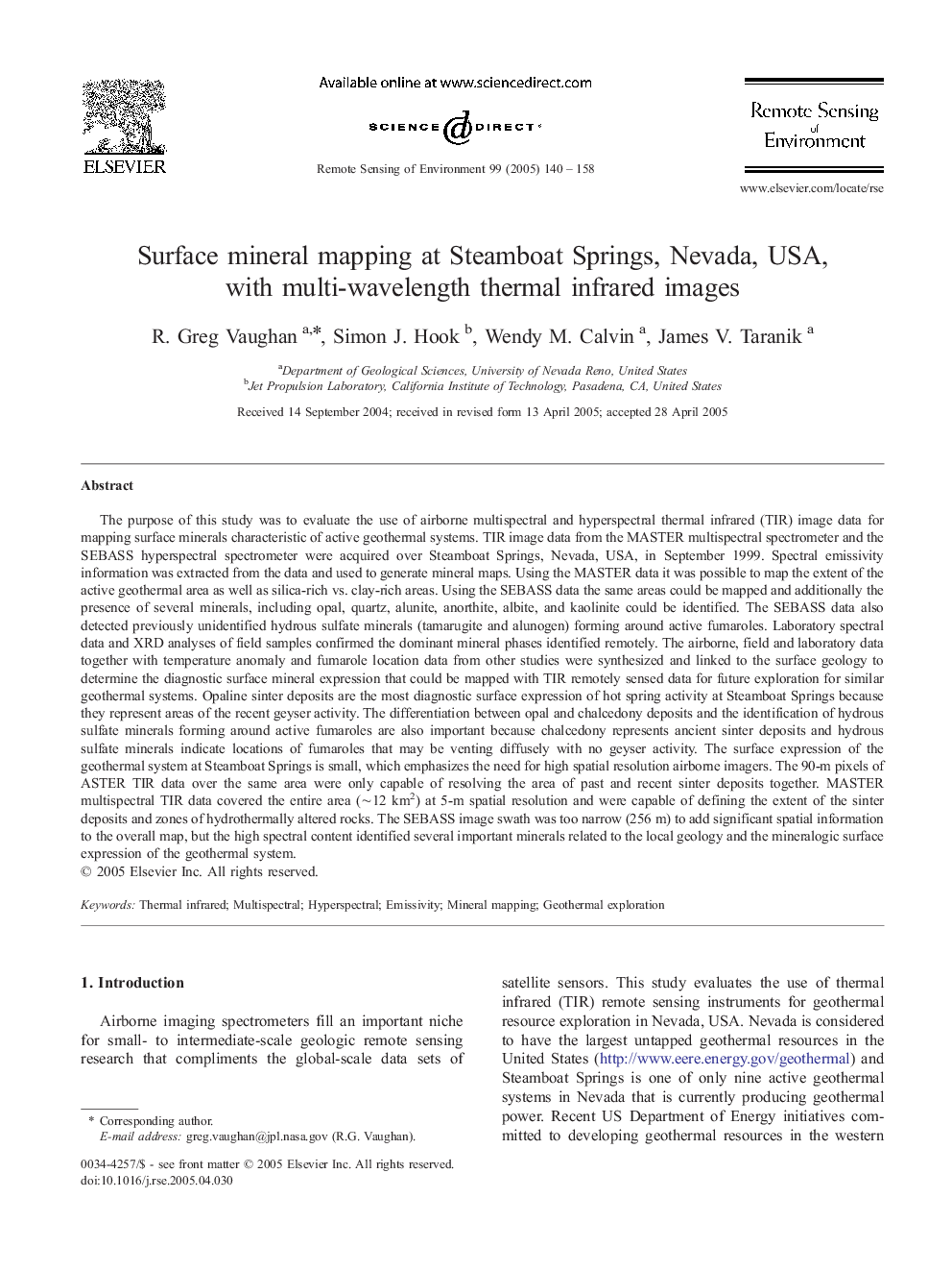
The purpose of this study was to evaluate the use of airborne multispectral and hyperspectral thermal infrared (TIR) image data for mapping surface minerals characteristic of active geothermal systems. TIR image data from the MASTER multispectral spectrometer and the SEBASS hyperspectral spectrometer were acquired over Steamboat Springs, Nevada, USA, in September 1999. Spectral emissivity information was extracted from the data and used to generate mineral maps. Using the MASTER data it was possible to map the extent of the active geothermal area as well as silica-rich vs. clay-rich areas. Using the SEBASS data the same areas could be mapped and additionally the presence of several minerals, including opal, quartz, alunite, anorthite, albite, and kaolinite could be identified. The SEBASS data also detected previously unidentified hydrous sulfate minerals (tamarugite and alunogen) forming around active fumaroles. Laboratory spectral data and XRD analyses of field samples confirmed the dominant mineral phases identified remotely. The airborne, field and laboratory data together with temperature anomaly and fumarole location data from other studies were synthesized and linked to the surface geology to determine the diagnostic surface mineral expression that could be mapped with TIR remotely sensed data for future exploration for similar geothermal systems. Opaline sinter deposits are the most diagnostic surface expression of hot spring activity at Steamboat Springs because they represent areas of the recent geyser activity. The differentiation between opal and chalcedony deposits and the identification of hydrous sulfate minerals forming around active fumaroles are also important because chalcedony represents ancient sinter deposits and hydrous sulfate minerals indicate locations of fumaroles that may be venting diffusely with no geyser activity. The surface expression of the geothermal system at Steamboat Springs is small, which emphasizes the need for high spatial resolution airborne imagers. The 90-m pixels of ASTER TIR data over the same area were only capable of resolving the area of past and recent sinter deposits together. MASTER multispectral TIR data covered the entire area (â¼12 km2) at 5-m spatial resolution and were capable of defining the extent of the sinter deposits and zones of hydrothermally altered rocks. The SEBASS image swath was too narrow (256 m) to add significant spatial information to the overall map, but the high spectral content identified several important minerals related to the local geology and the mineralogic surface expression of the geothermal system.
ناشر
Database: Elsevier - ScienceDirect (ساینس دایرکت)
Journal: Remote Sensing of Environment - Volume 99, Issues 1â2, 15 November 2005, Pages 140-158
Journal: Remote Sensing of Environment - Volume 99, Issues 1â2, 15 November 2005, Pages 140-158
نویسندگان
R. Greg Vaughan, Simon J. Hook, Wendy M. Calvin, James V. Taranik,