| کد مقاله | کد نشریه | سال انتشار | مقاله انگلیسی | نسخه تمام متن |
|---|---|---|---|---|
| 10114084 | 1621382 | 2005 | 15 صفحه PDF | دانلود رایگان |
عنوان انگلیسی مقاله ISI
Mapping ground subsidence induced by aquifer overexploitation using advanced Differential SAR Interferometry: Vega Media of the Segura River (SE Spain) case study
دانلود مقاله + سفارش ترجمه
دانلود مقاله ISI انگلیسی
رایگان برای ایرانیان
کلمات کلیدی
موضوعات مرتبط
مهندسی و علوم پایه
علوم زمین و سیارات
کامپیوتر در علوم زمین
پیش نمایش صفحه اول مقاله

چکیده انگلیسی
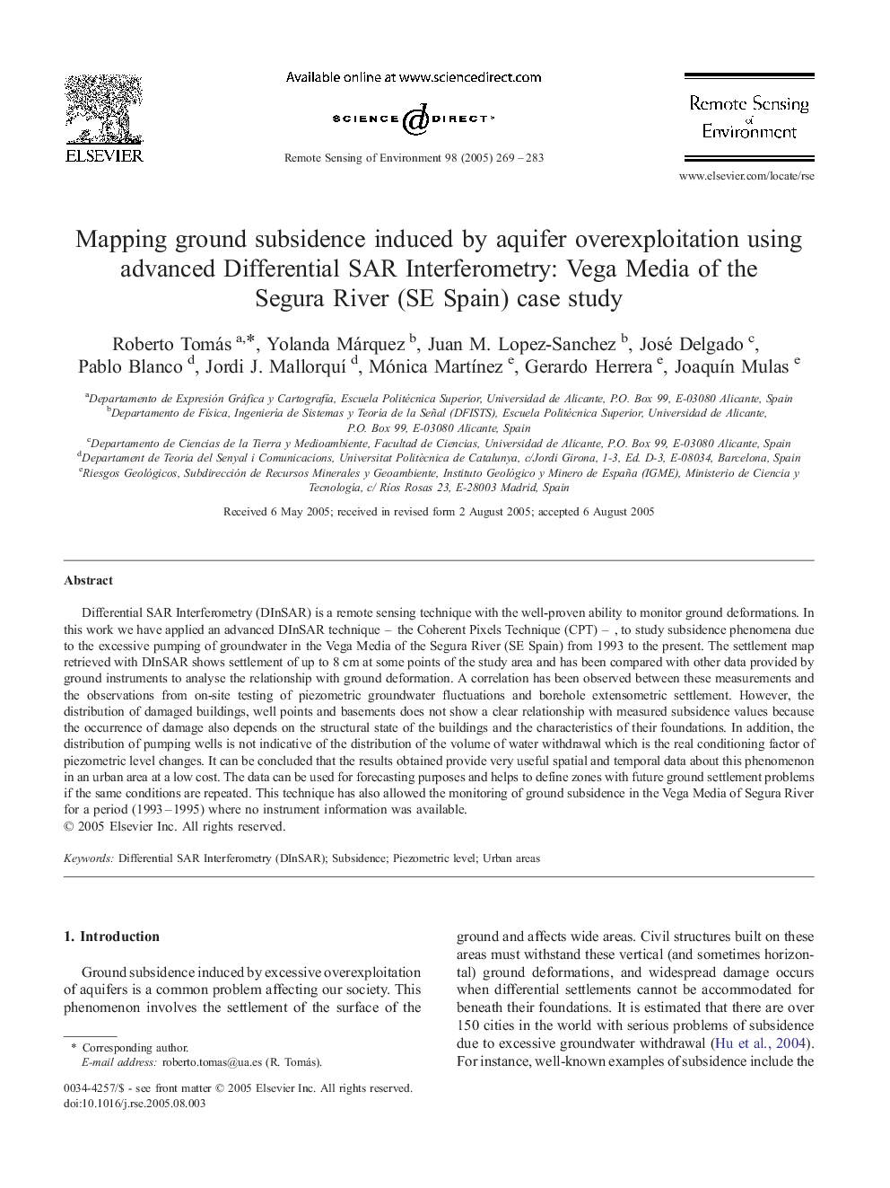
Differential SAR Interferometry (DInSAR) is a remote sensing technique with the well-proven ability to monitor ground deformations. In this work we have applied an advanced DInSAR technique - the Coherent Pixels Technique (CPT) - , to study subsidence phenomena due to the excessive pumping of groundwater in the Vega Media of the Segura River (SE Spain) from 1993 to the present. The settlement map retrieved with DInSAR shows settlement of up to 8 cm at some points of the study area and has been compared with other data provided by ground instruments to analyse the relationship with ground deformation. A correlation has been observed between these measurements and the observations from on-site testing of piezometric groundwater fluctuations and borehole extensometric settlement. However, the distribution of damaged buildings, well points and basements does not show a clear relationship with measured subsidence values because the occurrence of damage also depends on the structural state of the buildings and the characteristics of their foundations. In addition, the distribution of pumping wells is not indicative of the distribution of the volume of water withdrawal which is the real conditioning factor of piezometric level changes. It can be concluded that the results obtained provide very useful spatial and temporal data about this phenomenon in an urban area at a low cost. The data can be used for forecasting purposes and helps to define zones with future ground settlement problems if the same conditions are repeated. This technique has also allowed the monitoring of ground subsidence in the Vega Media of Segura River for a period (1993-1995) where no instrument information was available.
ناشر
Database: Elsevier - ScienceDirect (ساینس دایرکت)
Journal: Remote Sensing of Environment - Volume 98, Issues 2â3, 15 October 2005, Pages 269-283
Journal: Remote Sensing of Environment - Volume 98, Issues 2â3, 15 October 2005, Pages 269-283
نویسندگان
Roberto Tomás, Yolanda Márquez, Juan M. Lopez-Sanchez, José Delgado, Pablo Blanco, Jordi J. MallorquÃ, Mónica MartÃnez, Gerardo Herrera, JoaquÃn Mulas,