| کد مقاله | کد نشریه | سال انتشار | مقاله انگلیسی | نسخه تمام متن |
|---|---|---|---|---|
| 10114269 | 1621392 | 2005 | 25 صفحه PDF | دانلود رایگان |
عنوان انگلیسی مقاله ISI
Ganges and Indus river basin land use/land cover (LULC) and irrigated area mapping using continuous streams of MODIS data
دانلود مقاله + سفارش ترجمه
دانلود مقاله ISI انگلیسی
رایگان برای ایرانیان
کلمات کلیدی
موضوعات مرتبط
مهندسی و علوم پایه
علوم زمین و سیارات
کامپیوتر در علوم زمین
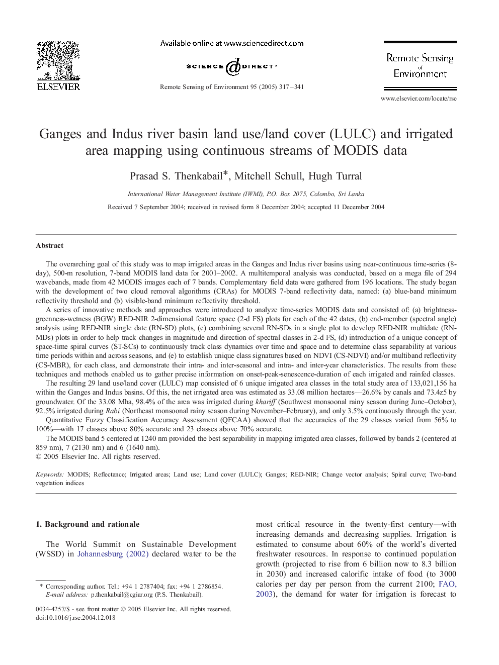
پیش نمایش صفحه اول مقاله

چکیده انگلیسی
The MODIS band 5 centered at 1240 nm provided the best separability in mapping irrigated area classes, followed by bands 2 (centered at 859 nm), 7 (2130 nm) and 6 (1640 nm).
ناشر
Database: Elsevier - ScienceDirect (ساینس دایرکت)
Journal: Remote Sensing of Environment - Volume 95, Issue 3, 15 April 2005, Pages 317-341
Journal: Remote Sensing of Environment - Volume 95, Issue 3, 15 April 2005, Pages 317-341
نویسندگان
Prasad S. Thenkabail, Mitchell Schull, Hugh Turral,