| کد مقاله | کد نشریه | سال انتشار | مقاله انگلیسی | نسخه تمام متن |
|---|---|---|---|---|
| 10114286 | 1621393 | 2005 | 17 صفحه PDF | دانلود رایگان |
عنوان انگلیسی مقاله ISI
Effects of channel morphology and sensor spatial resolution on image-derived depth estimates
دانلود مقاله + سفارش ترجمه
دانلود مقاله ISI انگلیسی
رایگان برای ایرانیان
کلمات کلیدی
موضوعات مرتبط
مهندسی و علوم پایه
علوم زمین و سیارات
کامپیوتر در علوم زمین
پیش نمایش صفحه اول مقاله

چکیده انگلیسی
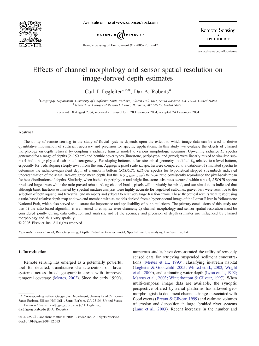
The utility of remote sensing in the study of fluvial systems depends upon the extent to which image data can be used to derive quantitative information of sufficient accuracy and precision for specific applications. In this study, we evaluate the effects of channel morphology on depth retrieval by coupling a radiative transfer model to various morphologic scenarios. Upwelling radiance Lu spectra generated for a range of depths (2-150 cm) and benthic cover types (limestone, periphyton, and gravel) were linearly mixed to simulate sub-pixel bed topography and substrate heterogeneity. For sloping bottoms, solar-streambed geometry modified Lu relative to a level bottom, especially for beds sloping steeply away from the sun. Aggregate pixel scale Lu spectra were compared to a database of simulated spectra to determine the radiance-equivalent depth of a uniform bottom (REDUB). REDUB spectra for hypothetical stepped streambeds indicated underestimation of the actual area-weighted mean depth, but the ln (Lu,560/Lu,690) REDUB ratio consistently reproduced the pixel-scale mean for beta distributions of depths. Similarly, when both dark periphyton and bright limestone substrates occurred within a pixel, REDUB spectra produced large errors while the ratio proved robust. Along channel banks, pixels will inevitably be mixed, and our simulations indicated that although bank fractions estimated by spectral mixture analysis were highly accurate for vegetated cutbanks, gravel bars were sensitive to the selection of both aquatic and terrestrial end members and subject to relatively large fraction errors. These theoretical results were tested using a ratio-based relative depth map and two-end member mixture models derived from a hyperspectral image of the Lamar River in Yellowstone National Park, which also served to illustrate the importance and applicability of our simulations. The primary conclusions of this study are that 1) the ratio-based algorithm is well-suited to complex river channels; 2) channel morphology and sensor spatial resolution must be considered jointly during data collection and analysis; and 3) the accuracy and precision of depth estimates are influenced by channel morphology and thus vary spatially.
ناشر
Database: Elsevier - ScienceDirect (ساینس دایرکت)
Journal: Remote Sensing of Environment - Volume 95, Issue 2, 30 March 2005, Pages 231-247
Journal: Remote Sensing of Environment - Volume 95, Issue 2, 30 March 2005, Pages 231-247
نویسندگان
Carl J. Legleiter, Dar A. Roberts,