| کد مقاله | کد نشریه | سال انتشار | مقاله انگلیسی | نسخه تمام متن |
|---|---|---|---|---|
| 10116607 | 1624537 | 2005 | 11 صفحه PDF | دانلود رایگان |
عنوان انگلیسی مقاله ISI
Using geostatistical and remote sensing approaches for mapping soil properties
دانلود مقاله + سفارش ترجمه
دانلود مقاله ISI انگلیسی
رایگان برای ایرانیان
موضوعات مرتبط
علوم زیستی و بیوفناوری
علوم کشاورزی و بیولوژیک
علوم زراعت و اصلاح نباتات
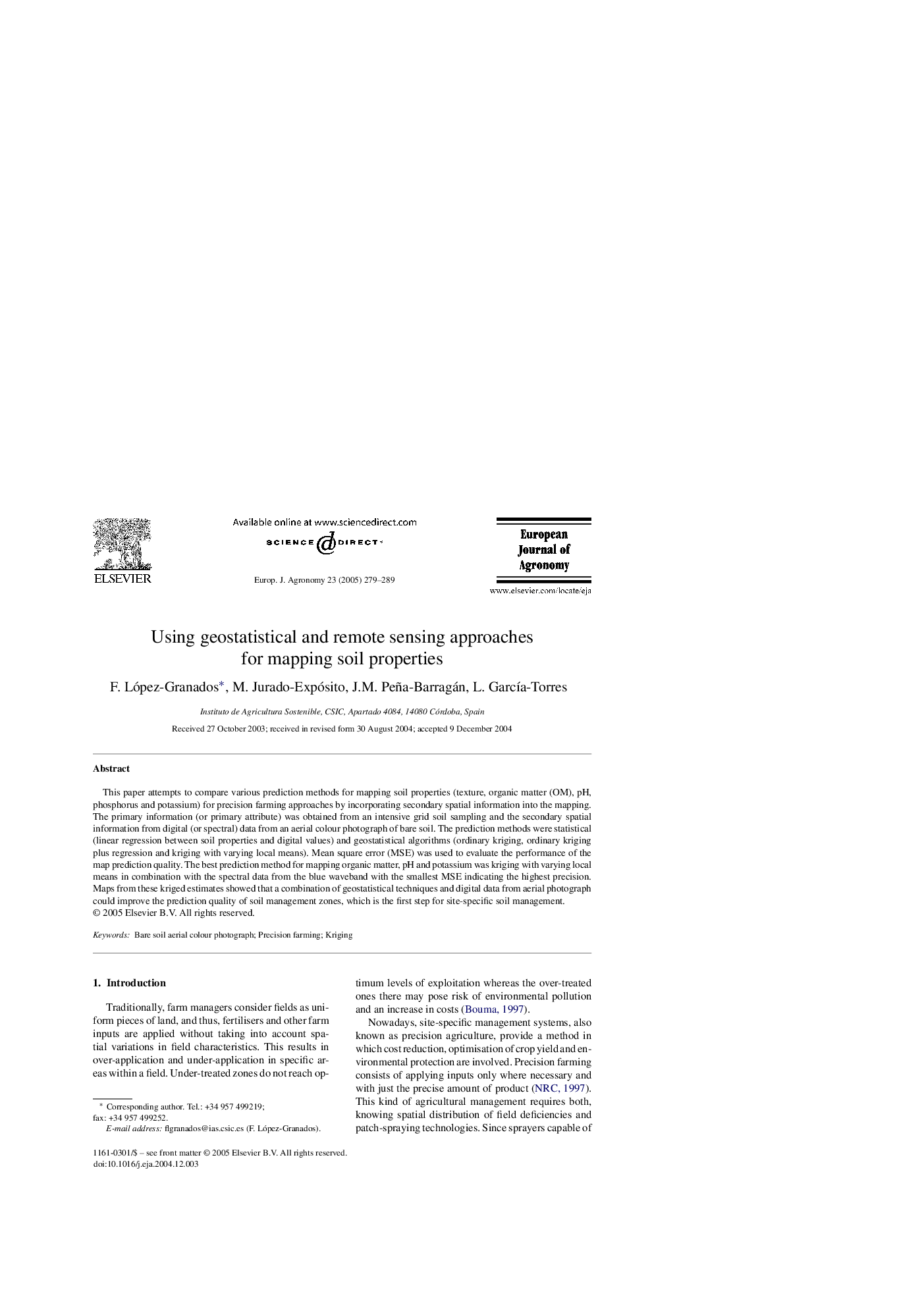
پیش نمایش صفحه اول مقاله

چکیده انگلیسی
This paper attempts to compare various prediction methods for mapping soil properties (texture, organic matter (OM), pH, phosphorus and potassium) for precision farming approaches by incorporating secondary spatial information into the mapping. The primary information (or primary attribute) was obtained from an intensive grid soil sampling and the secondary spatial information from digital (or spectral) data from an aerial colour photograph of bare soil. The prediction methods were statistical (linear regression between soil properties and digital values) and geostatistical algorithms (ordinary kriging, ordinary kriging plus regression and kriging with varying local means). Mean square error (MSE) was used to evaluate the performance of the map prediction quality. The best prediction method for mapping organic matter, pH and potassium was kriging with varying local means in combination with the spectral data from the blue waveband with the smallest MSE indicating the highest precision. Maps from these kriged estimates showed that a combination of geostatistical techniques and digital data from aerial photograph could improve the prediction quality of soil management zones, which is the first step for site-specific soil management.
ناشر
Database: Elsevier - ScienceDirect (ساینس دایرکت)
Journal: European Journal of Agronomy - Volume 23, Issue 3, October 2005, Pages 279-289
Journal: European Journal of Agronomy - Volume 23, Issue 3, October 2005, Pages 279-289
نویسندگان
F. López-Granados, M. Jurado-Expósito, J.M. Peña-Barragán, L. GarcÃa-Torres,