| کد مقاله | کد نشریه | سال انتشار | مقاله انگلیسی | نسخه تمام متن |
|---|---|---|---|---|
| 10370735 | 876491 | 2005 | 5 صفحه PDF | دانلود رایگان |
عنوان انگلیسی مقاله ISI
Study of pollution dispersion in urban areas using Computational Fluid Dynamics (CFD) and Geographic Information System (GIS)
دانلود مقاله + سفارش ترجمه
دانلود مقاله ISI انگلیسی
رایگان برای ایرانیان
کلمات کلیدی
موضوعات مرتبط
مهندسی و علوم پایه
مهندسی کامپیوتر
نرم افزار
پیش نمایش صفحه اول مقاله

چکیده انگلیسی
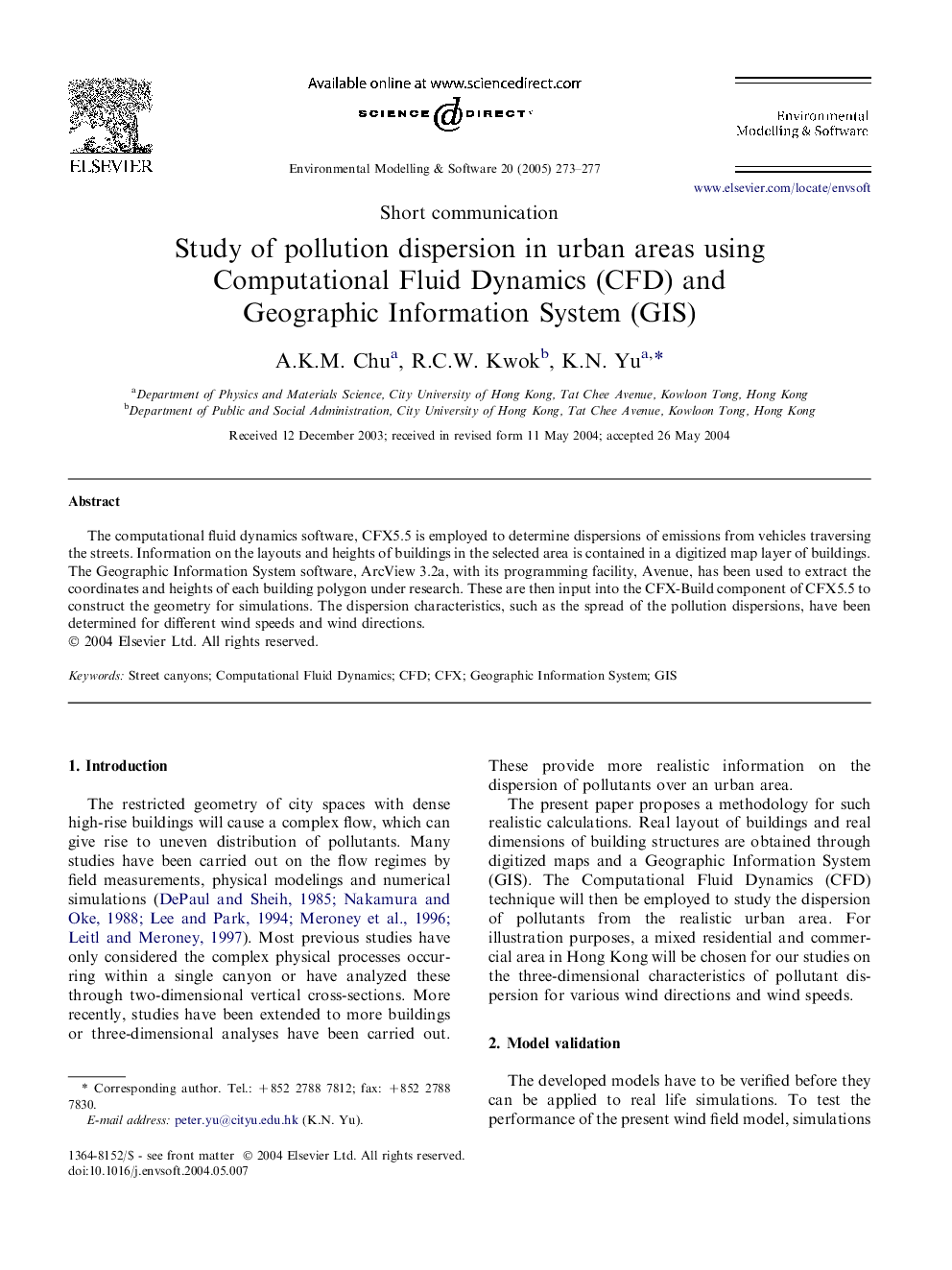
The computational fluid dynamics software, CFX5.5 is employed to determine dispersions of emissions from vehicles traversing the streets. Information on the layouts and heights of buildings in the selected area is contained in a digitized map layer of buildings. The Geographic Information System software, ArcView 3.2a, with its programming facility, Avenue, has been used to extract the coordinates and heights of each building polygon under research. These are then input into the CFX-Build component of CFX5.5 to construct the geometry for simulations. The dispersion characteristics, such as the spread of the pollution dispersions, have been determined for different wind speeds and wind directions.
ناشر
Database: Elsevier - ScienceDirect (ساینس دایرکت)
Journal: Environmental Modelling & Software - Volume 20, Issue 3, March 2005, Pages 273-277
Journal: Environmental Modelling & Software - Volume 20, Issue 3, March 2005, Pages 273-277
نویسندگان
A.K.M. Chu, R.C.W. Kwok, K.N. Yu,