| کد مقاله | کد نشریه | سال انتشار | مقاله انگلیسی | نسخه تمام متن |
|---|---|---|---|---|
| 11025044 | 1701037 | 2018 | 10 صفحه PDF | دانلود رایگان |
عنوان انگلیسی مقاله ISI
Deformation of Linfen-Yuncheng Basin (China) and its mechanisms revealed by Î -RATE InSAR technique
دانلود مقاله + سفارش ترجمه
دانلود مقاله ISI انگلیسی
رایگان برای ایرانیان
کلمات کلیدی
موضوعات مرتبط
مهندسی و علوم پایه
علوم زمین و سیارات
کامپیوتر در علوم زمین
پیش نمایش صفحه اول مقاله

چکیده انگلیسی
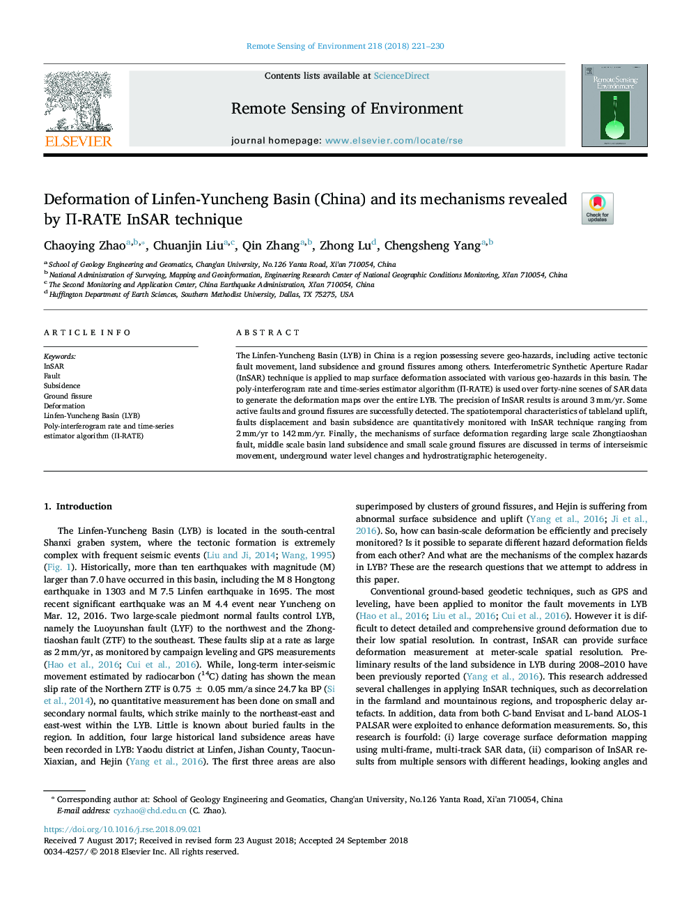
The Linfen-Yuncheng Basin (LYB) in China is a region possessing severe geo-hazards, including active tectonic fault movement, land subsidence and ground fissures among others. Interferometric Synthetic Aperture Radar (InSAR) technique is applied to map surface deformation associated with various geo-hazards in this basin. The poly-interferogram rate and time-series estimator algorithm (Î -RATE) is used over forty-nine scenes of SAR data to generate the deformation maps over the entire LYB. The precision of InSAR results is around 3â¯mm/yr. Some active faults and ground fissures are successfully detected. The spatiotemporal characteristics of tableland uplift, faults displacement and basin subsidence are quantitatively monitored with InSAR technique ranging from 2â¯mm/yr to 142â¯mm/yr. Finally, the mechanisms of surface deformation regarding large scale Zhongtiaoshan fault, middle scale basin land subsidence and small scale ground fissures are discussed in terms of interseismic movement, underground water level changes and hydrostratigraphic heterogeneity.
ناشر
Database: Elsevier - ScienceDirect (ساینس دایرکت)
Journal: Remote Sensing of Environment - Volume 218, 1 December 2018, Pages 221-230
Journal: Remote Sensing of Environment - Volume 218, 1 December 2018, Pages 221-230
نویسندگان
Chaoying Zhao, Chuanjin Liu, Qin Zhang, Zhong Lu, Chengsheng Yang,