| کد مقاله | کد نشریه | سال انتشار | مقاله انگلیسی | نسخه تمام متن |
|---|---|---|---|---|
| 4393930 | 1305510 | 2008 | 12 صفحه PDF | دانلود رایگان |
عنوان انگلیسی مقاله ISI
An image-based diversity index for assessing land degradation in an arid environment in South Australia
دانلود مقاله + سفارش ترجمه
دانلود مقاله ISI انگلیسی
رایگان برای ایرانیان
موضوعات مرتبط
مهندسی و علوم پایه
علوم زمین و سیارات
فرآیندهای سطح زمین
پیش نمایش صفحه اول مقاله

چکیده انگلیسی
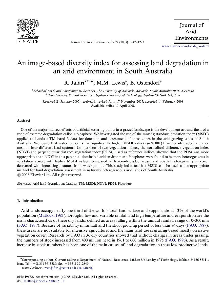
One of the major indirect effects of artificial watering points in a grazed landscape is the development around them of a zone of extreme degradation called a piosphere. We investigated the use of the moving standard deviation index (MSDI) applied to Landsat TM band 3 data for detection and assessment of these zones in the arid grazing lands of South Australia. We found that watering points had significantly higher MSDI values (p<0.001) than non-degraded reference areas in four different land systems. Comparison of two vegetation indices, the normalised difference vegetation index (NDVI) and perpendicular distance vegetation index (PD54), used as reference indices, showed that the PD54 was more appropriate than NDVI in this perennial-dominated arid environment. Piospheres were found to be more heterogeneous in vegetation cover, with higher MSDI values, compared with non-degraded areas, and spatial heterogeneity in cover decreased with increasing distance from water points. This study indicates that MSDI can be used as an appropriate method for land degradation assessment in naturally heterogeneous arid lands of South Australia.
ناشر
Database: Elsevier - ScienceDirect (ساینس دایرکت)
Journal: Journal of Arid Environments - Volume 72, Issue 7, July 2008, Pages 1282-1293
Journal: Journal of Arid Environments - Volume 72, Issue 7, July 2008, Pages 1282-1293
نویسندگان
R. Jafari, M.M. Lewis, B. Ostendorf,