| کد مقاله | کد نشریه | سال انتشار | مقاله انگلیسی | نسخه تمام متن |
|---|---|---|---|---|
| 4683758 | 1349336 | 2013 | 8 صفحه PDF | دانلود رایگان |
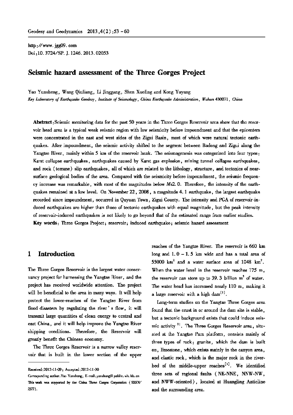
:Seismic monitoring data for the past 50 years in the Three Gorges Reservoir area show that the reservoir head area is a typical weak seismic region with low seismicity before impoundment and that the epicenters were concentrated in the east and west sides of the Zigui Basin, most of which were natural tectonic earthquakes. After impoundment, the seismic activity shifted to the segment between Badong and Zigui along the Yangtze River, mainly within 5 km of the reservoir bank. The seismogenesis was categorized into four types; Karst collapse earthquakes, earthquakes caused by Karst gas explosion, mining tunnel collapse earthquakes, and rock (terrane) slip earthquakes, all of which are related to the lithology, structure, and tectonics of near-surface geological bodies of the area. Compared with the seismicity before impoundment, the seismic frequency increase was remarkable, with most of the magnitudes below Ms2. 0. Therefore, the intensity of the earthquakes remained at a low level. On November 22, 2008, a magnitude 4. 1 earthquake, the largest earthquake recorded since impoundment, occurred in Quyuan Town, Zigui County. The intensity and PGA of reservoir-induced earthquakes are higher than those of tectonic earthquakes with equal magnitude, but the peak intensity of reservoir-induced earthquakes is not likely to go beyond that of the estimated range from earlier studies.
Journal: Geodesy and Geodynamics - Volume 4, Issue 2, May 2013, Pages 53–60
