| کد مقاله | کد نشریه | سال انتشار | مقاله انگلیسی | نسخه تمام متن |
|---|---|---|---|---|
| 4978349 | 1452265 | 2016 | 10 صفحه PDF | دانلود رایگان |
عنوان انگلیسی مقاله ISI
Introducing a new open source GIS user interface for the SWAT model
دانلود مقاله + سفارش ترجمه
دانلود مقاله ISI انگلیسی
رایگان برای ایرانیان
موضوعات مرتبط
مهندسی و علوم پایه
مهندسی کامپیوتر
نرم افزار
پیش نمایش صفحه اول مقاله

چکیده انگلیسی
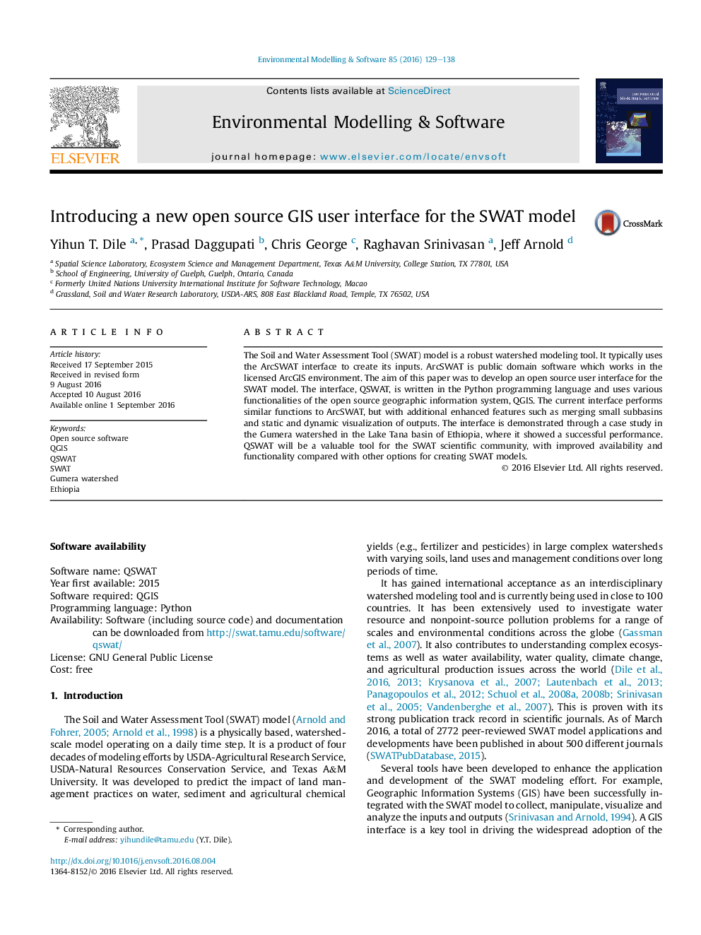
The Soil and Water Assessment Tool (SWAT) model is a robust watershed modeling tool. It typically uses the ArcSWAT interface to create its inputs. ArcSWAT is public domain software which works in the licensed ArcGIS environment. The aim of this paper was to develop an open source user interface for the SWAT model. The interface, QSWAT, is written in the Python programming language and uses various functionalities of the open source geographic information system, QGIS. The current interface performs similar functions to ArcSWAT, but with additional enhanced features such as merging small subbasins and static and dynamic visualization of outputs. The interface is demonstrated through a case study in the Gumera watershed in the Lake Tana basin of Ethiopia, where it showed a successful performance. QSWAT will be a valuable tool for the SWAT scientific community, with improved availability and functionality compared with other options for creating SWAT models.
ناشر
Database: Elsevier - ScienceDirect (ساینس دایرکت)
Journal: Environmental Modelling & Software - Volume 85, November 2016, Pages 129-138
Journal: Environmental Modelling & Software - Volume 85, November 2016, Pages 129-138
نویسندگان
Yihun T. Dile, Prasad Daggupati, Chris George, Raghavan Srinivasan, Jeff Arnold,