| کد مقاله | کد نشریه | سال انتشار | مقاله انگلیسی | نسخه تمام متن |
|---|---|---|---|---|
| 5750022 | 1619694 | 2017 | 11 صفحه PDF | دانلود رایگان |

- The location of domestic wells in the US is not well known.
- Domestic wells are susceptible to contamination due to their typically shallow depth.
- Location is an important factor in domestic well susceptibility.
- We use a novel approach that incorporates the proximity of roads to estimate domestic well locations.
- We present two methods for creating a national dataset for the contiguous 48 States.
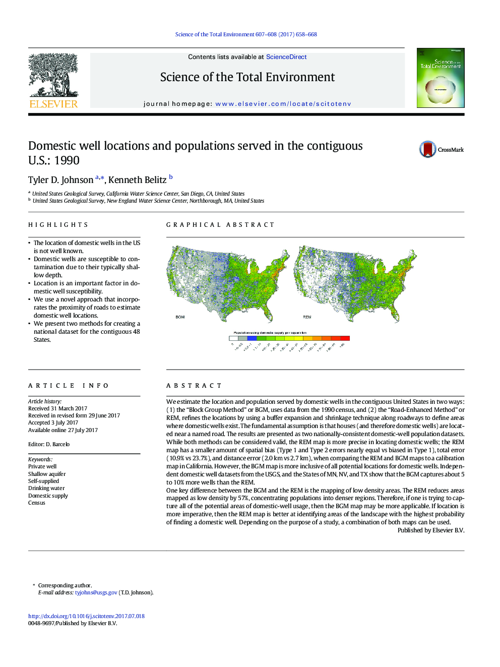
We estimate the location and population served by domestic wells in the contiguous United States in two ways: (1) the “Block Group Method” or BGM, uses data from the 1990 census, and (2) the “Road-Enhanced Method” or REM, refines the locations by using a buffer expansion and shrinkage technique along roadways to define areas where domestic wells exist. The fundamental assumption is that houses (and therefore domestic wells) are located near a named road. The results are presented as two nationally-consistent domestic-well population datasets.While both methods can be considered valid, the REM map is more precise in locating domestic wells; the REM map has a smaller amount of spatial bias (Type 1 and Type 2 errors nearly equal vs biased in Type 1), total error (10.9% vs 23.7%), and distance error (2.0Â km vs 2.7Â km), when comparing the REM and BGM maps to a calibration map in California. However, the BGM map is more inclusive of all potential locations for domestic wells. Independent domestic well datasets from the USGS, and the States of MN, NV, and TX show that the BGM captures about 5 to 10% more wells than the REM.One key difference between the BGM and the REM is the mapping of low density areas. The REM reduces areas mapped as low density by 57%, concentrating populations into denser regions. Therefore, if one is trying to capture all of the potential areas of domestic-well usage, then the BGM map may be more applicable. If location is more imperative, then the REM map is better at identifying areas of the landscape with the highest probability of finding a domestic well. Depending on the purpose of a study, a combination of both maps can be used.
270
Journal: Science of The Total Environment - Volumes 607â608, 31 December 2017, Pages 658-668