| کد مقاله | کد نشریه | سال انتشار | مقاله انگلیسی | نسخه تمام متن |
|---|---|---|---|---|
| 5750972 | 1619699 | 2017 | 11 صفحه PDF | دانلود رایگان |
- Evaluation of methods and parameters pertinent to flood exposure analyses
- Spatial exposure analyses support prioritization in flood risk management.
- Feasible detection of hotspots at national scale based on spatially explicit data
- Complementary spatial distribution of exposure densities and ratios in Switzerland
- Data aggregation scheme (i.e. by municipalities or grids) influences the results.
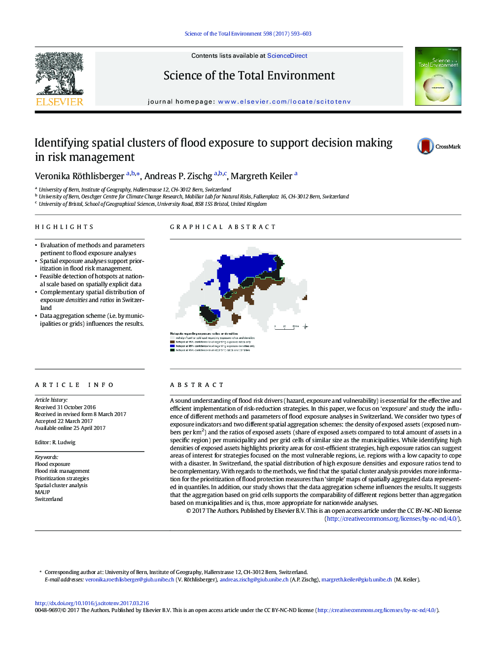
A sound understanding of flood risk drivers (hazard, exposure and vulnerability) is essential for the effective and efficient implementation of risk-reduction strategies. In this paper, we focus on 'exposure' and study the influence of different methods and parameters of flood exposure analyses in Switzerland. We consider two types of exposure indicators and two different spatial aggregation schemes: the density of exposed assets (exposed numbers per km2) and the ratios of exposed assets (share of exposed assets compared to total amount of assets in a specific region) per municipality and per grid cells of similar size as the municipalities. While identifying high densities of exposed assets highlights priority areas for cost-efficient strategies, high exposure ratios can suggest areas of interest for strategies focused on the most vulnerable regions, i.e. regions with a low capacity to cope with a disaster. In Switzerland, the spatial distribution of high exposure densities and exposure ratios tend to be complementary. With regards to the methods, we find that the spatial cluster analysis provides more information for the prioritization of flood protection measures than 'simple' maps of spatially aggregated data represented in quantiles. In addition, our study shows that the data aggregation scheme influences the results. It suggests that the aggregation based on grid cells supports the comparability of different regions better than aggregation based on municipalities and is, thus, more appropriate for nationwide analyses.
115
Journal: Science of The Total Environment - Volume 598, 15 November 2017, Pages 593-603
