| کد مقاله | کد نشریه | سال انتشار | مقاله انگلیسی | نسخه تمام متن |
|---|---|---|---|---|
| 5755011 | 1621206 | 2017 | 16 صفحه PDF | دانلود رایگان |
عنوان انگلیسی مقاله ISI
Biomass retrieval from L-band polarimetric UAVSAR backscatter and PRISM stereo imagery
دانلود مقاله + سفارش ترجمه
دانلود مقاله ISI انگلیسی
رایگان برای ایرانیان
کلمات کلیدی
موضوعات مرتبط
مهندسی و علوم پایه
علوم زمین و سیارات
کامپیوتر در علوم زمین
پیش نمایش صفحه اول مقاله

چکیده انگلیسی
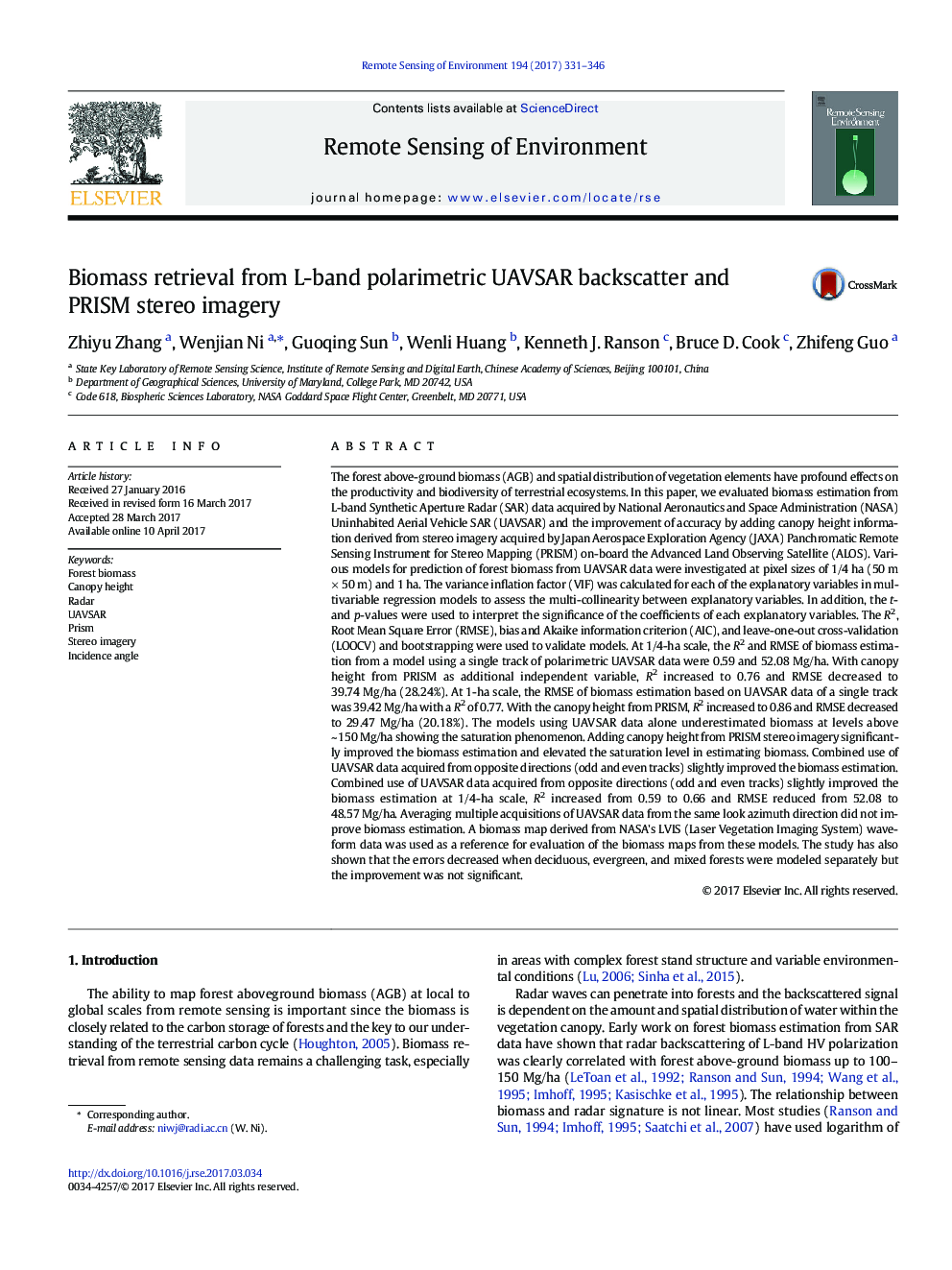
The forest above-ground biomass (AGB) and spatial distribution of vegetation elements have profound effects on the productivity and biodiversity of terrestrial ecosystems. In this paper, we evaluated biomass estimation from L-band Synthetic Aperture Radar (SAR) data acquired by National Aeronautics and Space Administration (NASA) Uninhabited Aerial Vehicle SAR (UAVSAR) and the improvement of accuracy by adding canopy height information derived from stereo imagery acquired by Japan Aerospace Exploration Agency (JAXA) Panchromatic Remote Sensing Instrument for Stereo Mapping (PRISM) on-board the Advanced Land Observing Satellite (ALOS). Various models for prediction of forest biomass from UAVSAR data were investigated at pixel sizes of 1/4 ha (50 m Ã 50 m) and 1 ha. The variance inflation factor (VIF) was calculated for each of the explanatory variables in multivariable regression models to assess the multi-collinearity between explanatory variables. In addition, the t- and p-values were used to interpret the significance of the coefficients of each explanatory variables. The R2, Root Mean Square Error (RMSE), bias and Akaike information criterion (AIC), and leave-one-out cross-validation (LOOCV) and bootstrapping were used to validate models. At 1/4-ha scale, the R2 and RMSE of biomass estimation from a model using a single track of polarimetric UAVSAR data were 0.59 and 52.08 Mg/ha. With canopy height from PRISM as additional independent variable, R2 increased to 0.76 and RMSE decreased to 39.74 Mg/ha (28.24%). At 1-ha scale, the RMSE of biomass estimation based on UAVSAR data of a single track was 39.42 Mg/ha with a R2 of 0.77. With the canopy height from PRISM, R2 increased to 0.86 and RMSE decreased to 29.47 Mg/ha (20.18%). The models using UAVSAR data alone underestimated biomass at levels above ~ 150 Mg/ha showing the saturation phenomenon. Adding canopy height from PRISM stereo imagery significantly improved the biomass estimation and elevated the saturation level in estimating biomass. Combined use of UAVSAR data acquired from opposite directions (odd and even tracks) slightly improved the biomass estimation. Combined use of UAVSAR data acquired from opposite directions (odd and even tracks) slightly improved the biomass estimation at 1/4-ha scale, R2 increased from 0.59 to 0.66 and RMSE reduced from 52.08 to 48.57 Mg/ha. Averaging multiple acquisitions of UAVSAR data from the same look azimuth direction did not improve biomass estimation. A biomass map derived from NASA's LVIS (Laser Vegetation Imaging System) waveform data was used as a reference for evaluation of the biomass maps from these models. The study has also shown that the errors decreased when deciduous, evergreen, and mixed forests were modeled separately but the improvement was not significant.
ناشر
Database: Elsevier - ScienceDirect (ساینس دایرکت)
Journal: Remote Sensing of Environment - Volume 194, 1 June 2017, Pages 331-346
Journal: Remote Sensing of Environment - Volume 194, 1 June 2017, Pages 331-346
نویسندگان
Zhiyu Zhang, Wenjian Ni, Guoqing Sun, Wenli Huang, Kenneth J. Ranson, Bruce D. Cook, Zhifeng Guo,