| کد مقاله | کد نشریه | سال انتشار | مقاله انگلیسی | نسخه تمام متن |
|---|---|---|---|---|
| 5787218 | 1641113 | 2017 | 11 صفحه PDF | دانلود رایگان |
عنوان انگلیسی مقاله ISI
Multidisciplinary geophysical approach to map a disposal site: The Ponza island case study
دانلود مقاله + سفارش ترجمه
دانلود مقاله ISI انگلیسی
رایگان برای ایرانیان
کلمات کلیدی
موضوعات مرتبط
مهندسی و علوم پایه
علوم زمین و سیارات
فیزیک زمین (ژئو فیزیک)
پیش نمایش صفحه اول مقاله

چکیده انگلیسی
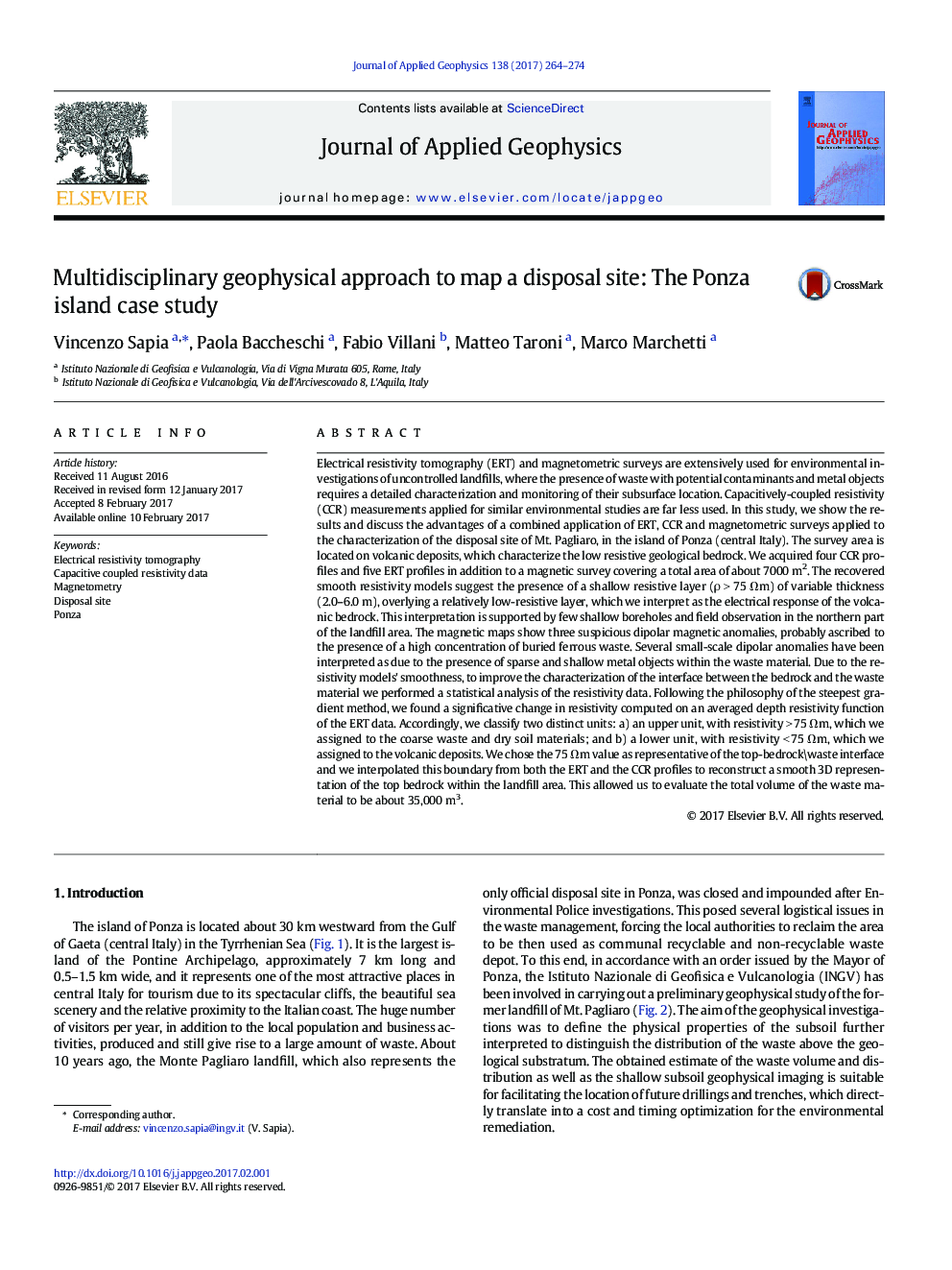
Electrical resistivity tomography (ERT) and magnetometric surveys are extensively used for environmental investigations of uncontrolled landfills, where the presence of waste with potential contaminants and metal objects requires a detailed characterization and monitoring of their subsurface location. Capacitively-coupled resistivity (CCR) measurements applied for similar environmental studies are far less used. In this study, we show the results and discuss the advantages of a combined application of ERT, CCR and magnetometric surveys applied to the characterization of the disposal site of Mt. Pagliaro, in the island of Ponza (central Italy). The survey area is located on volcanic deposits, which characterize the low resistive geological bedrock. We acquired four CCR profiles and five ERT profiles in addition to a magnetic survey covering a total area of about 7000 m2. The recovered smooth resistivity models suggest the presence of a shallow resistive layer (Ï > 75 Ωm) of variable thickness (2.0-6.0 m), overlying a relatively low-resistive layer, which we interpret as the electrical response of the volcanic bedrock. This interpretation is supported by few shallow boreholes and field observation in the northern part of the landfill area. The magnetic maps show three suspicious dipolar magnetic anomalies, probably ascribed to the presence of a high concentration of buried ferrous waste. Several small-scale dipolar anomalies have been interpreted as due to the presence of sparse and shallow metal objects within the waste material. Due to the resistivity models' smoothness, to improve the characterization of the interface between the bedrock and the waste material we performed a statistical analysis of the resistivity data. Following the philosophy of the steepest gradient method, we found a significative change in resistivity computed on an averaged depth resistivity function of the ERT data. Accordingly, we classify two distinct units: a) an upper unit, with resistivity > 75 Ωm, which we assigned to the coarse waste and dry soil materials; and b) a lower unit, with resistivity < 75 Ωm, which we assigned to the volcanic deposits. We chose the 75 Ωm value as representative of the top-bedrock\waste interface and we interpolated this boundary from both the ERT and the CCR profiles to reconstruct a smooth 3D representation of the top bedrock within the landfill area. This allowed us to evaluate the total volume of the waste material to be about 35,000 m3.
ناشر
Database: Elsevier - ScienceDirect (ساینس دایرکت)
Journal: Journal of Applied Geophysics - Volume 138, March 2017, Pages 264-274
Journal: Journal of Applied Geophysics - Volume 138, March 2017, Pages 264-274
نویسندگان
Vincenzo Sapia, Paola Baccheschi, Fabio Villani, Matteo Taroni, Marco Marchetti,