| کد مقاله | کد نشریه | سال انتشار | مقاله انگلیسی | نسخه تمام متن |
|---|---|---|---|---|
| 6346633 | 1621245 | 2014 | 11 صفحه PDF | دانلود رایگان |
عنوان انگلیسی مقاله ISI
Land subsidence and ground fissures in Xi'an, China 2005-2012 revealed by multi-band InSAR time-series analysis
دانلود مقاله + سفارش ترجمه
دانلود مقاله ISI انگلیسی
رایگان برای ایرانیان
کلمات کلیدی
موضوعات مرتبط
مهندسی و علوم پایه
علوم زمین و سیارات
کامپیوتر در علوم زمین
پیش نمایش صفحه اول مقاله

چکیده انگلیسی
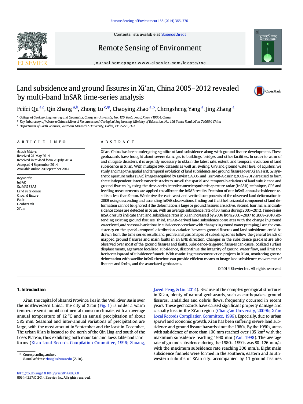
Xi'an, China has been undergoing significant land subsidence along with ground fissure development. These geohazards have brought about severe damages to buildings, bridges and other facilities. In order to warn of and mitigate disasters, it is urgently necessary to obtain the latest rate, extent, and temporal evolution of land subsidence in Xi'an. With multiple SAR datasets as well as leveling, GPS and ground water level of aquifers, we study and map the spatial and temporal evolution of land subsidence and ground fissures over Xi'an. First, 62 synthetic aperture radar (SAR) images acquired by Envisat, ALOS, and TerrSAR-X during 2005-2012 are used to form three independent interferometric stacks to unveil the spatial and temporal variations of land subsidence and ground fissures by using the time-series interferometric synthetic aperture radar (InSAR) technique. GPS and leveling measurements are applied to calibrate the InSAR results. Precision of our InSAR annual subsidence results is less than 9Â mm. We derive the east-west and vertical components of the observed land deformation in 2009 using descending and ascending InSAR observations, finding out that the horizontal component of land deformation cannot be ignored if the deformation is large or ground fissures are active. Second, four main land subsidence zones are detected in Xi'an, with an average subsidence rate of 50Â mm/a during 2005-2012. Time-series InSAR results indicate that land subsidence rates in Xi'an increased by 200% from 2005-2007 to 2008-2010, extending existing ground fissures. Third, InSAR-derived land subsidence correlates with the change in ground water level, and seasonal variations in subsidence correlate with changes in ground water pumping. Last, the consistency on the spatial-temporal distribution variation between ground fissures and land subsidence could be drawn from the time series results and profile analysis. Shapes of subsiding zones follow the general trends of mapped ground fissures and main faults in an ENE direction. Changes in the subsidence gradient are also observed over most of the ground fissures and faults. Subsidence-triggered fissures can cause localized surface displacements, aggravate localized subsidence, discontinue the integrity of ground water flow, and limit the horizontal spread of subsidence funnels. With continuing mass construction projects in Xi'an, monitoring ground deformation with satellite InSAR therefore can provide efficient means to image land subsidence, movements of fissures and faults, and the associated geohazards.
ناشر
Database: Elsevier - ScienceDirect (ساینس دایرکت)
Journal: Remote Sensing of Environment - Volume 155, December 2014, Pages 366-376
Journal: Remote Sensing of Environment - Volume 155, December 2014, Pages 366-376
نویسندگان
Feifei Qu, Qin Zhang, Zhong Lu, Chaoying Zhao, Chengsheng Yang, Jing Zhang,