| کد مقاله | کد نشریه | سال انتشار | مقاله انگلیسی | نسخه تمام متن |
|---|---|---|---|---|
| 6347526 | 1621277 | 2012 | 11 صفحه PDF | دانلود رایگان |
عنوان انگلیسی مقاله ISI
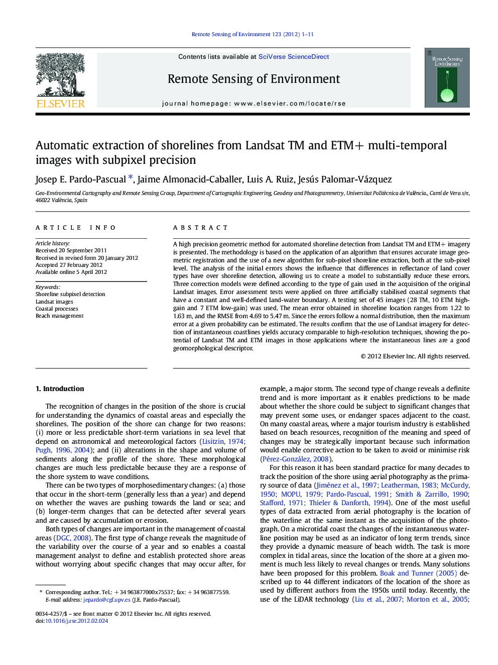
Automatic extraction of shorelines from Landsat TM and ETM+ multi-temporal images with subpixel precision
دانلود مقاله + سفارش ترجمه
دانلود مقاله ISI انگلیسی
رایگان برای ایرانیان
کلمات کلیدی
موضوعات مرتبط
مهندسی و علوم پایه
علوم زمین و سیارات
کامپیوتر در علوم زمین
پیش نمایش صفحه اول مقاله

چکیده انگلیسی
⺠A sub-pixel automated shoreline detection method from images is presented. ⺠Errors are analysed using 45 Landsat TM and ETM+ images over microtidal coast. ⺠Modelisation of errors allows to improve precision in shoreline location. ⺠Mean error ranges from 1.22 to 1.63 m and RMSE from 4.69 to 5.47 m. ⺠The method can be used to analyse coastal evolution trends in large temporal series.
ناشر
Database: Elsevier - ScienceDirect (ساینس دایرکت)
Journal: Remote Sensing of Environment - Volume 123, August 2012, Pages 1-11
Journal: Remote Sensing of Environment - Volume 123, August 2012, Pages 1-11
نویسندگان
Josep E. Pardo-Pascual, Jaime Almonacid-Caballer, Luis A. Ruiz, Jesús Palomar-Vázquez,