| کد مقاله | کد نشریه | سال انتشار | مقاله انگلیسی | نسخه تمام متن |
|---|---|---|---|---|
| 6549485 | 1421861 | 2018 | 13 صفحه PDF | دانلود رایگان |
عنوان انگلیسی مقاله ISI
Estimation of urban woody vegetation cover using multispectral imagery and LiDAR
دانلود مقاله + سفارش ترجمه
دانلود مقاله ISI انگلیسی
رایگان برای ایرانیان
کلمات کلیدی
موضوعات مرتبط
علوم زیستی و بیوفناوری
علوم کشاورزی و بیولوژیک
جنگلداری
پیش نمایش صفحه اول مقاله

چکیده انگلیسی
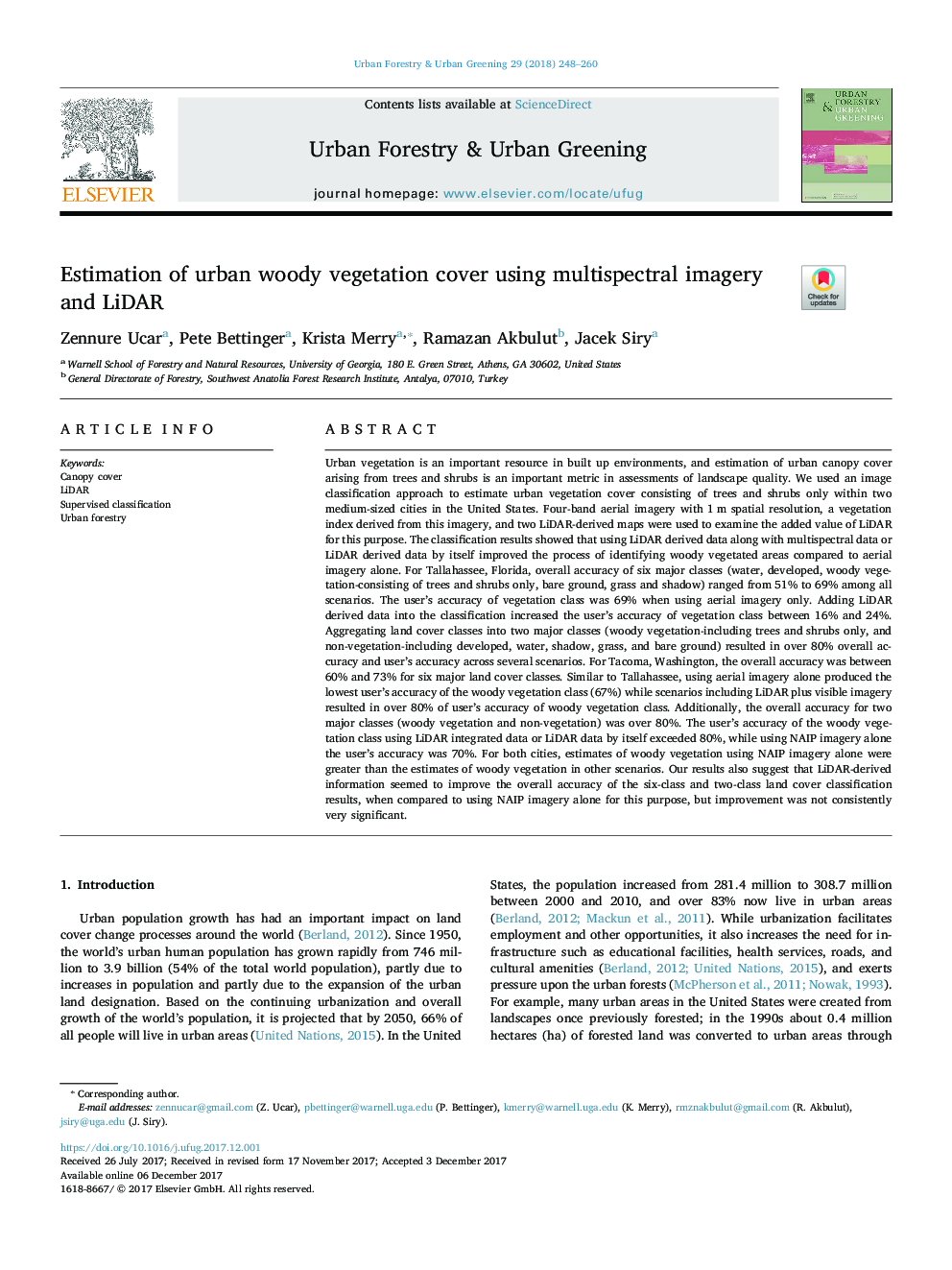
Urban vegetation is an important resource in built up environments, and estimation of urban canopy cover arising from trees and shrubs is an important metric in assessments of landscape quality. We used an image classification approach to estimate urban vegetation cover consisting of trees and shrubs only within two medium-sized cities in the United States. Four-band aerial imagery with 1â¯m spatial resolution, a vegetation index derived from this imagery, and two LiDAR-derived maps were used to examine the added value of LiDAR for this purpose. The classification results showed that using LiDAR derived data along with multispectral data or LiDAR derived data by itself improved the process of identifying woody vegetated areas compared to aerial imagery alone. For Tallahassee, Florida, overall accuracy of six major classes (water, developed, woody vegetation-consisting of trees and shrubs only, bare ground, grass and shadow) ranged from 51% to 69% among all scenarios. The user's accuracy of vegetation class was 69% when using aerial imagery only. Adding LiDAR derived data into the classification increased the user's accuracy of vegetation class between 16% and 24%. Aggregating land cover classes into two major classes (woody vegetation-including trees and shrubs only, and non-vegetation-including developed, water, shadow, grass, and bare ground) resulted in over 80% overall accuracy and user's accuracy across several scenarios. For Tacoma, Washington, the overall accuracy was between 60% and 73% for six major land cover classes. Similar to Tallahassee, using aerial imagery alone produced the lowest user's accuracy of the woody vegetation class (67%) while scenarios including LiDAR plus visible imagery resulted in over 80% of user's accuracy of woody vegetation class. Additionally, the overall accuracy for two major classes (woody vegetation and non-vegetation) was over 80%. The user's accuracy of the woody vegetation class using LiDAR integrated data or LiDAR data by itself exceeded 80%, while using NAIP imagery alone the user's accuracy was 70%. For both cities, estimates of woody vegetation using NAIP imagery alone were greater than the estimates of woody vegetation in other scenarios. Our results also suggest that LiDAR-derived information seemed to improve the overall accuracy of the six-class and two-class land cover classification results, when compared to using NAIP imagery alone for this purpose, but improvement was not consistently very significant.
ناشر
Database: Elsevier - ScienceDirect (ساینس دایرکت)
Journal: Urban Forestry & Urban Greening - Volume 29, January 2018, Pages 248-260
Journal: Urban Forestry & Urban Greening - Volume 29, January 2018, Pages 248-260
نویسندگان
Zennure Ucar, Pete Bettinger, Krista Merry, Ramazan Akbulut, Jacek Siry,