| کد مقاله | کد نشریه | سال انتشار | مقاله انگلیسی | نسخه تمام متن |
|---|---|---|---|---|
| 6962736 | 1452275 | 2016 | 14 صفحه PDF | دانلود رایگان |
عنوان انگلیسی مقاله ISI
Fuzzy risk assessment modelling of East Kolkata Wetland Area: AÂ remote sensing and GIS based approach
دانلود مقاله + سفارش ترجمه
دانلود مقاله ISI انگلیسی
رایگان برای ایرانیان
کلمات کلیدی
موضوعات مرتبط
مهندسی و علوم پایه
مهندسی کامپیوتر
نرم افزار
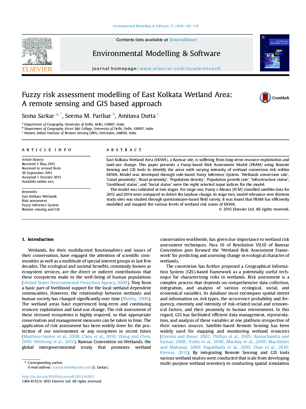
پیش نمایش صفحه اول مقاله

چکیده انگلیسی
The model was validated at two stages. For stage one, Fuzzy c-Means (FCM) classified satellite data for 2012 and 2014 were compared to detect the landuse change. In stage two, model relevance over thirteen study sites was studied through questionnaire-based field survey. It was found that FRAM has efficiently modelled and mapped the various levels of wetland risk zones of EKWA.
ناشر
Database: Elsevier - ScienceDirect (ساینس دایرکت)
Journal: Environmental Modelling & Software - Volume 75, January 2016, Pages 105-118
Journal: Environmental Modelling & Software - Volume 75, January 2016, Pages 105-118
نویسندگان
Soma Sarkar, Seema M. Parihar, Amitava Dutta,