| کد مقاله | کد نشریه | سال انتشار | مقاله انگلیسی | نسخه تمام متن |
|---|---|---|---|---|
| 7442637 | 1483908 | 2014 | 9 صفحه PDF | دانلود رایگان |
عنوان انگلیسی مقاله ISI
Using LiDAR data to locate a Middle Woodland enclosure and associated mounds, Louisa County, Iowa
دانلود مقاله + سفارش ترجمه
دانلود مقاله ISI انگلیسی
رایگان برای ایرانیان
موضوعات مرتبط
مهندسی و علوم پایه
مهندسی مواد
دانش مواد (عمومی)
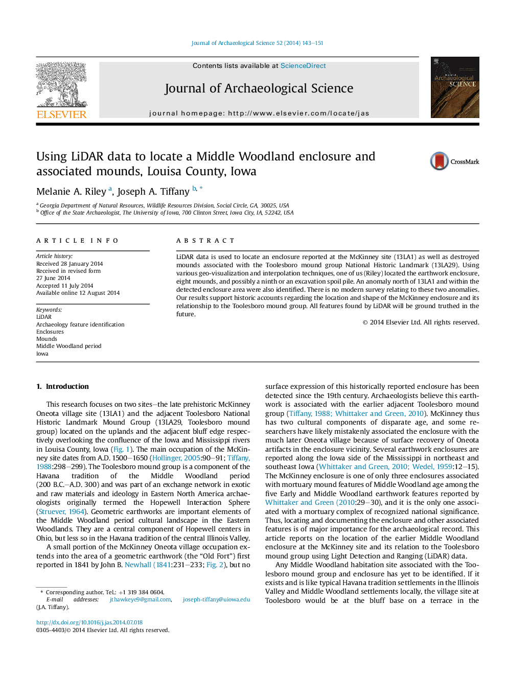
پیش نمایش صفحه اول مقاله

چکیده انگلیسی
LiDAR data is used to locate an enclosure reported at the McKinney site (13LA1) as well as destroyed mounds associated with the Toolesboro mound group National Historic Landmark (13LA29). Using various geo-visualization and interpolation techniques, one of us (Riley) located the earthwork enclosure, eight mounds, and possibly a ninth or an excavation spoil pile. An anomaly north of 13LA1 and within the detected enclosure area were also identified. There is no modern survey relating to these two anomalies. Our results support historic accounts regarding the location and shape of the McKinney enclosure and its relationship to the Toolesboro mound group. All features found by LiDAR will be ground truthed in the future.
ناشر
Database: Elsevier - ScienceDirect (ساینس دایرکت)
Journal: Journal of Archaeological Science - Volume 52, December 2014, Pages 143-151
Journal: Journal of Archaeological Science - Volume 52, December 2014, Pages 143-151
نویسندگان
Melanie A. Riley, Joseph A. Tiffany,