| کد مقاله | کد نشریه | سال انتشار | مقاله انگلیسی | نسخه تمام متن |
|---|---|---|---|---|
| 7443760 | 1483918 | 2014 | 15 صفحه PDF | دانلود رایگان |
عنوان انگلیسی مقاله ISI
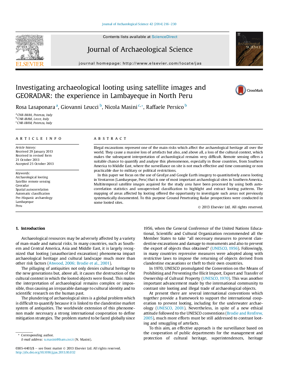
Investigating archaeological looting using satellite images and GEORADAR: the experience in Lambayeque in North Peru
دانلود مقاله + سفارش ترجمه
دانلود مقاله ISI انگلیسی
رایگان برای ایرانیان
کلمات کلیدی
موضوعات مرتبط
مهندسی و علوم پایه
مهندسی مواد
دانش مواد (عمومی)
پیش نمایش صفحه اول مقاله

چکیده انگلیسی
In this paper we focus on the use of GeoEye and Google Earth imagery to quantitatively assess looting in Ventarron (Lambayeque, Peru) that is one of most important archaeological sites in Southern America. Multitemporal satellite images acquired for the study area have been processed by using both autocorrelation statistics and unsupervised classification to highlight and extract looting patterns. The mapping of areas affected by looting offered the opportunity to investigate such areas not previously systematically documented. To this purpose Ground Penetrating Radar prospections were conducted in some looted sites.
ناشر
Database: Elsevier - ScienceDirect (ساینس دایرکت)
Journal: Journal of Archaeological Science - Volume 42, February 2014, Pages 216-230
Journal: Journal of Archaeological Science - Volume 42, February 2014, Pages 216-230
نویسندگان
Rosa Lasaponara, Giovanni Leucci, Nicola Masini, Raffaele Persico,