| کد مقاله | کد نشریه | سال انتشار | مقاله انگلیسی | نسخه تمام متن |
|---|---|---|---|---|
| 7461526 | 1484633 | 2014 | 13 صفحه PDF | دانلود رایگان |
عنوان انگلیسی مقاله ISI
Spatial statistical analysis and simulation of the urban heat island in high-density central cities
ترجمه فارسی عنوان
تجزیه و تحلیل آماری فضایی و شبیه سازی جزیره گرمایی شهری در شهرهای مرکزی با تراکم بالا
دانلود مقاله + سفارش ترجمه
دانلود مقاله ISI انگلیسی
رایگان برای ایرانیان
کلمات کلیدی
جزیره گرمایی شهری، درجه حرارت از راه دور، مدل شهر 3 بعدی، رگرسیون فضایی، اثرات همسایه، شبیه سازی استراتژی های سبز سازی،
موضوعات مرتبط
علوم زیستی و بیوفناوری
علوم کشاورزی و بیولوژیک
بوم شناسی، تکامل، رفتار و سامانه شناسی
چکیده انگلیسی
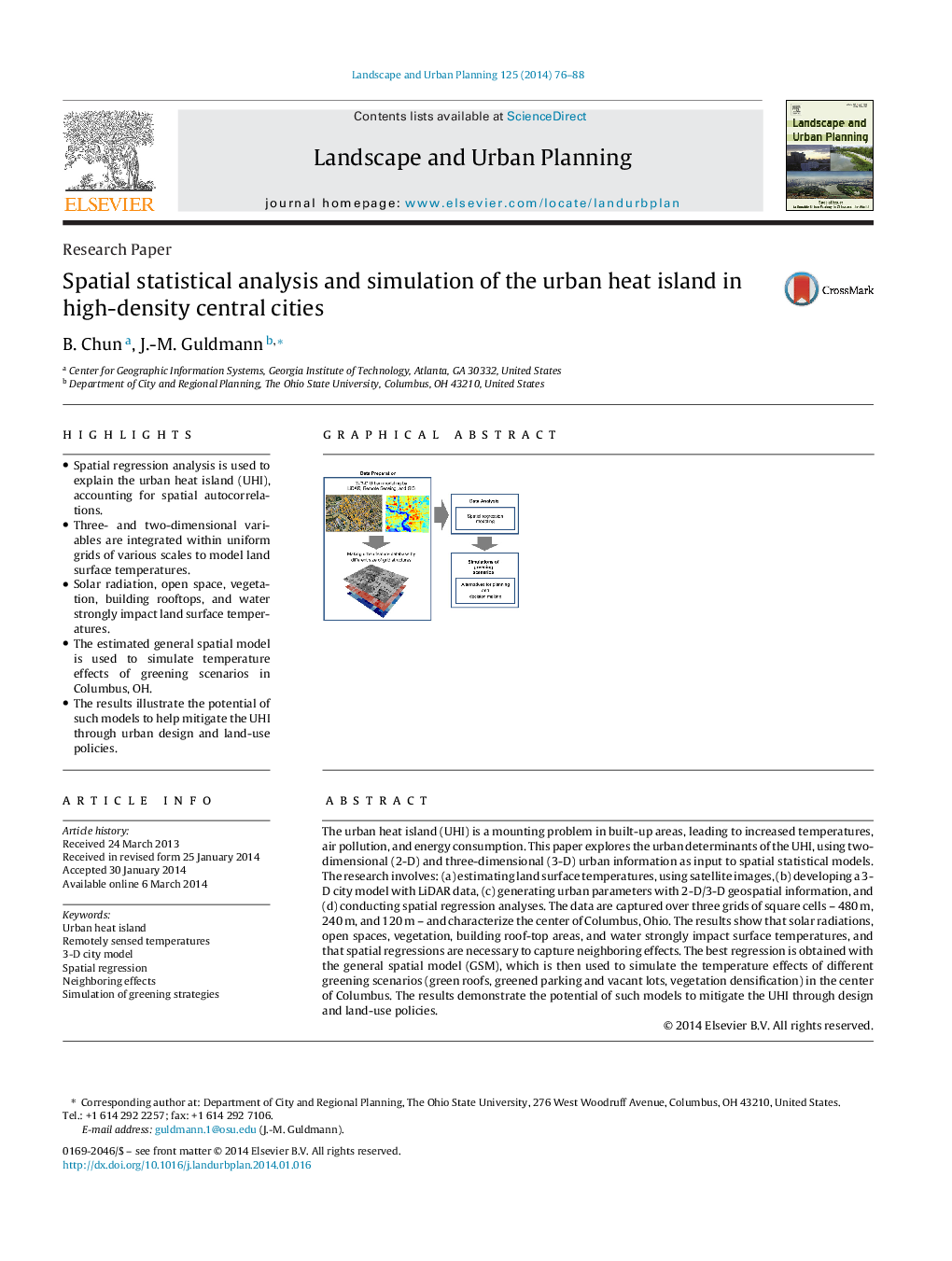
- Spatial regression analysis is used to explain the urban heat island (UHI), accounting for spatial autocorrelations.
- Three- and two-dimensional variables are integrated within uniform grids of various scales to model land surface temperatures.
- Solar radiation, open space, vegetation, building rooftops, and water strongly impact land surface temperatures.
- The estimated general spatial model is used to simulate temperature effects of greening scenarios in Columbus, OH.
- The results illustrate the potential of such models to help mitigate the UHI through urban design and land-use policies.
ناشر
Database: Elsevier - ScienceDirect (ساینس دایرکت)
Journal: Landscape and Urban Planning - Volume 125, May 2014, Pages 76-88
Journal: Landscape and Urban Planning - Volume 125, May 2014, Pages 76-88
نویسندگان
B. Chun, J.-M. Guldmann,
