| کد مقاله | کد نشریه | سال انتشار | مقاله انگلیسی | نسخه تمام متن |
|---|---|---|---|---|
| 8867814 | 1621784 | 2018 | 13 صفحه PDF | دانلود رایگان |
عنوان انگلیسی مقاله ISI
An efficient feature optimization for wetland mapping by synergistic use of SAR intensity, interferometry, and polarimetry data
دانلود مقاله + سفارش ترجمه
دانلود مقاله ISI انگلیسی
رایگان برای ایرانیان
کلمات کلیدی
موضوعات مرتبط
مهندسی و علوم پایه
علوم زمین و سیارات
کامپیوتر در علوم زمین
پیش نمایش صفحه اول مقاله

چکیده انگلیسی
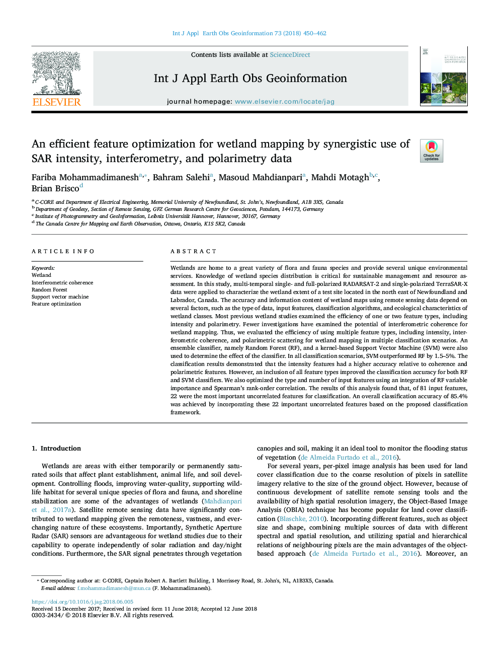
Wetlands are home to a great variety of flora and fauna species and provide several unique environmental services. Knowledge of wetland species distribution is critical for sustainable management and resource assessment. In this study, multi-temporal single- and full-polarized RADARSAT-2 and single-polarized TerraSAR-X data were applied to characterize the wetland extent of a test site located in the north east of Newfoundland and Labrador, Canada. The accuracy and information content of wetland maps using remote sensing data depend on several factors, such as the type of data, input features, classification algorithms, and ecological characteristics of wetland classes. Most previous wetland studies examined the efficiency of one or two feature types, including intensity and polarimetry. Fewer investigations have examined the potential of interferometric coherence for wetland mapping. Thus, we evaluated the efficiency of using multiple feature types, including intensity, interferometric coherence, and polarimetric scattering for wetland mapping in multiple classification scenarios. An ensemble classifier, namely Random Forest (RF), and a kernel-based Support Vector Machine (SVM) were also used to determine the effect of the classifier. In all classification scenarios, SVM outperformed RF by 1.5-5%. The classification results demonstrated that the intensity features had a higher accuracy relative to coherence and polarimetric features. However, an inclusion of all feature types improved the classification accuracy for both RF and SVM classifiers. We also optimized the type and number of input features using an integration of RF variable importance and Spearman's rank-order correlation. The results of this analysis found that, of 81 input features, 22 were the most important uncorrelated features for classification. An overall classification accuracy of 85.4% was achieved by incorporating these 22 important uncorrelated features based on the proposed classification framework.
ناشر
Database: Elsevier - ScienceDirect (ساینس دایرکت)
Journal: International Journal of Applied Earth Observation and Geoinformation - Volume 73, December 2018, Pages 450-462
Journal: International Journal of Applied Earth Observation and Geoinformation - Volume 73, December 2018, Pages 450-462
نویسندگان
Fariba Mohammadimanesh, Bahram Salehi, Masoud Mahdianpari, Mahdi Motagh, Brian Brisco,