| کد مقاله | کد نشریه | سال انتشار | مقاله انگلیسی | نسخه تمام متن |
|---|---|---|---|---|
| 8906554 | 1634416 | 2018 | 13 صفحه PDF | دانلود رایگان |
عنوان انگلیسی مقاله ISI
Field monitoring of secondary consolidation events and ice cover progression during freeze-up on the Lower Dauphin River, Manitoba
دانلود مقاله + سفارش ترجمه
دانلود مقاله ISI انگلیسی
رایگان برای ایرانیان
کلمات کلیدی
موضوعات مرتبط
مهندسی و علوم پایه
علوم زمین و سیارات
علوم زمین و سیاره ای (عمومی)
پیش نمایش صفحه اول مقاله

چکیده انگلیسی
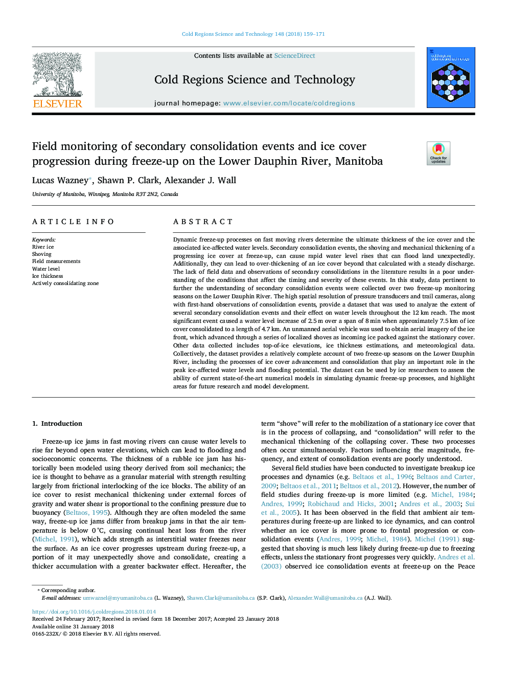
Dynamic freeze-up processes on fast moving rivers determine the ultimate thickness of the ice cover and the associated ice-affected water levels. Secondary consolidation events, the shoving and mechanical thickening of a progressing ice cover at freeze-up, can cause rapid water level rises that can flood land unexpectedly. Additionally, they can lead to over-thickening of an ice cover beyond that calculated with a steady discharge. The lack of field data and observations of secondary consolidations in the literature results in a poor understanding of the conditions that affect the timing and severity of these events. In this study, data pertinent to further the understanding of secondary consolidation events were collected over two freeze-up monitoring seasons on the Lower Dauphin River. The high spatial resolution of pressure transducers and trail cameras, along with first-hand observations of consolidation events, provide a dataset that was used to analyze the extent of several secondary consolidation events and their effect on water levels throughout the 12â¯km reach. The most significant event caused a water level increase of 2.5â¯m over a span of 8â¯min when approximately 7.5â¯km of ice cover consolidated to a length of 4.7â¯km. An unmanned aerial vehicle was used to obtain aerial imagery of the ice front, which advanced through a series of localized shoves as incoming ice packed against the stationary cover. Other data collected includes top-of-ice elevations, ice thickness estimations, and meteorological data. Collectively, the dataset provides a relatively complete account of two freeze-up seasons on the Lower Dauphin River, including the processes of ice cover advancement and consolidation that play an important role in the peak ice-affected water levels and flooding potential. The dataset can be used by ice researchers to assess the ability of current state-of-the-art numerical models in simulating dynamic freeze-up processes, and highlight areas for future research and model development.
ناشر
Database: Elsevier - ScienceDirect (ساینس دایرکت)
Journal: Cold Regions Science and Technology - Volume 148, April 2018, Pages 159-171
Journal: Cold Regions Science and Technology - Volume 148, April 2018, Pages 159-171
نویسندگان
Lucas Wazney, Shawn P. Clark, Alexander J. Wall,