| کد مقاله | کد نشریه | سال انتشار | مقاله انگلیسی | نسخه تمام متن |
|---|---|---|---|---|
| 9489911 | 1629269 | 2005 | 12 صفحه PDF | دانلود رایگان |
عنوان انگلیسی مقاله ISI
Measurement of erosion: Is it possible?
دانلود مقاله + سفارش ترجمه
دانلود مقاله ISI انگلیسی
رایگان برای ایرانیان
موضوعات مرتبط
مهندسی و علوم پایه
علوم زمین و سیارات
فرآیندهای سطح زمین
پیش نمایش صفحه اول مقاله

چکیده انگلیسی
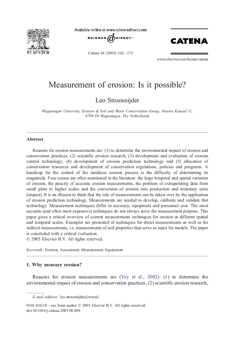
Reasons for erosion measurements are: (1) to determine the environmental impact of erosion and conservation practices, (2) scientific erosion research; (3) development and evaluation of erosion control technology; (4) development of erosion prediction technology and (5) allocation of conservation resources and development of conservation regulations, policies and programs. A handicap for the control of the insidious erosion process is the difficulty of determining its magnitude. Four causes are often mentioned in the literature: the large temporal and spatial variation of erosion, the paucity of accurate erosion measurements, the problem of extrapolating data from small plots to higher scales and the conversion of erosion into production and monetary units (impact). It is an illusion to think that the role of measurements can be taken over by the application of erosion prediction technology. Measurements are needed to develop, calibrate and validate that technology. Measurement techniques differ in accuracy, equipment and personnel cost. The most accurate (and often most expensive) techniques do not always serve the measurement purpose. This paper gives a critical overview of current measurements techniques for erosion at different spatial and temporal scales. Examples are presented of techniques for direct measurements as well as for indirect measurements, i.e. measurements of soil properties that serve as input for models. The paper is concluded with a critical evaluation.
ناشر
Database: Elsevier - ScienceDirect (ساینس دایرکت)
Journal: CATENA - Volume 64, Issues 2â3, 30 December 2005, Pages 162-173
Journal: CATENA - Volume 64, Issues 2â3, 30 December 2005, Pages 162-173
نویسندگان
Leo Stroosnijder,