| کد مقاله | کد نشریه | سال انتشار | مقاله انگلیسی | نسخه تمام متن |
|---|---|---|---|---|
| 9525739 | 1349885 | 2005 | 20 صفحه PDF | دانلود رایگان |
عنوان انگلیسی مقاله ISI
Geodetic and hydrological aspects of the Merano earthquake of 17 July 2001
دانلود مقاله + سفارش ترجمه
دانلود مقاله ISI انگلیسی
رایگان برای ایرانیان
کلمات کلیدی
موضوعات مرتبط
مهندسی و علوم پایه
علوم زمین و سیارات
فرآیندهای سطح زمین
پیش نمایش صفحه اول مقاله

چکیده انگلیسی
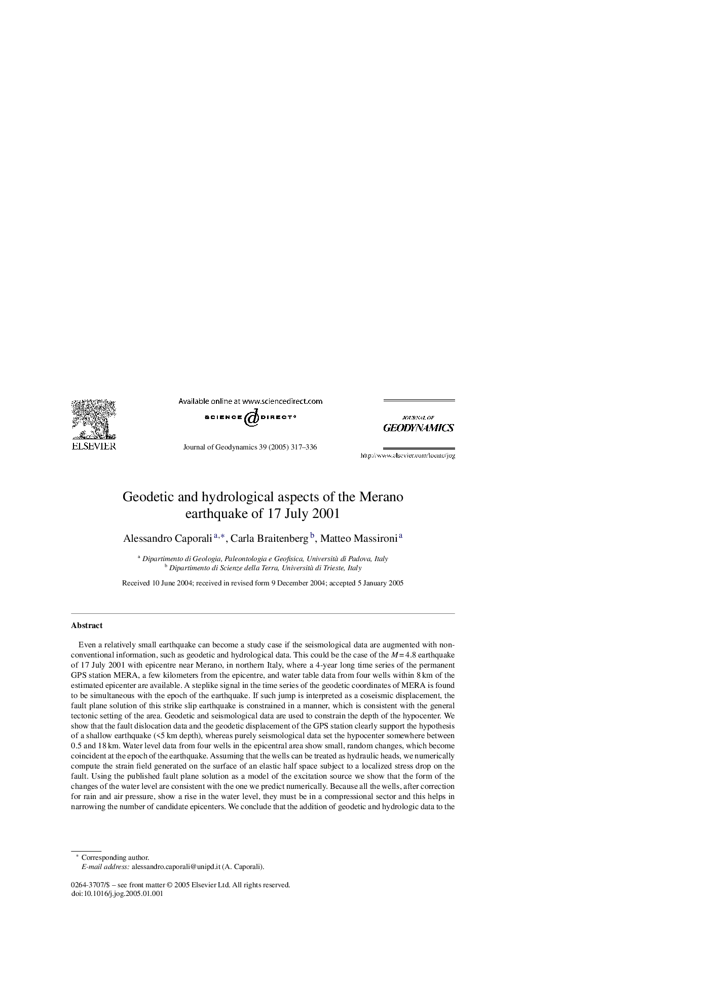
Even a relatively small earthquake can become a study case if the seismological data are augmented with non-conventional information, such as geodetic and hydrological data. This could be the case of the MÂ =Â 4.8 earthquake of 17 July 2001 with epicentre near Merano, in northern Italy, where a 4-year long time series of the permanent GPS station MERA, a few kilometers from the epicentre, and water table data from four wells within 8Â km of the estimated epicenter are available. A steplike signal in the time series of the geodetic coordinates of MERA is found to be simultaneous with the epoch of the earthquake. If such jump is interpreted as a coseismic displacement, the fault plane solution of this strike slip earthquake is constrained in a manner, which is consistent with the general tectonic setting of the area. Geodetic and seismological data are used to constrain the depth of the hypocenter. We show that the fault dislocation data and the geodetic displacement of the GPS station clearly support the hypothesis of a shallow earthquake (<5Â km depth), whereas purely seismological data set the hypocenter somewhere between 0.5 and 18Â km. Water level data from four wells in the epicentral area show small, random changes, which become coincident at the epoch of the earthquake. Assuming that the wells can be treated as hydraulic heads, we numerically compute the strain field generated on the surface of an elastic half space subject to a localized stress drop on the fault. Using the published fault plane solution as a model of the excitation source we show that the form of the changes of the water level are consistent with the one we predict numerically. Because all the wells, after correction for rain and air pressure, show a rise in the water level, they must be in a compressional sector and this helps in narrowing the number of candidate epicenters. We conclude that the addition of geodetic and hydrologic data to the seismological data enables, in this study case, both the hypocenter and the fault plane solution to be constrained more uniquely than with seismological data alone.
ناشر
Database: Elsevier - ScienceDirect (ساینس دایرکت)
Journal: Journal of Geodynamics - Volume 39, Issue 4, May 2005, Pages 317-336
Journal: Journal of Geodynamics - Volume 39, Issue 4, May 2005, Pages 317-336
نویسندگان
Alessandro Caporali, Carla Braitenberg, Matteo Massironi,